NASA Continues Efforts To Monitor Arctic Ice Loss With Research Flights Over Greenland and Canada

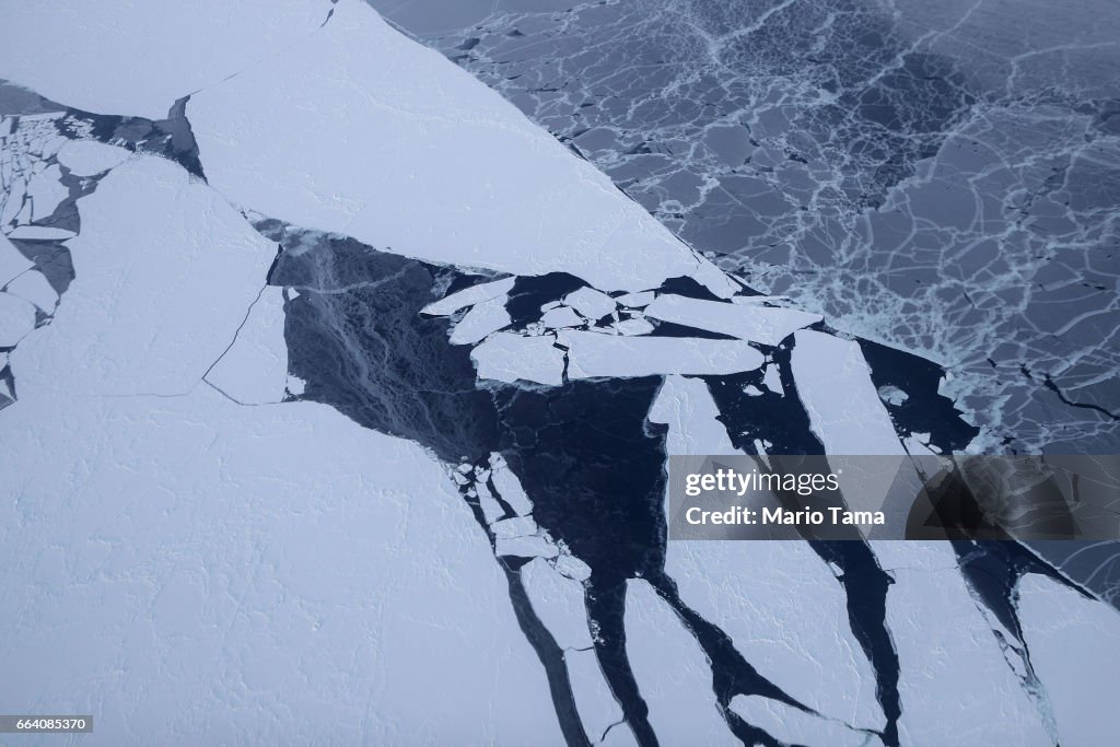
IN FLIGHT, GREENLAND - MARCH 30: Sea ice is seen from NASA's Operation IceBridge research aircraft off the northwest coast on March 30, 2017 above Greenland. NASA's Operation IceBridge has been studying how polar ice has evolved over the past nine years and is currently flying a set of eight-hour research flights over ice sheets and the Arctic Ocean to monitor Arctic ice loss aboard a retrofitted 1966 Lockheed P-3 aircraft. According to NASA scientists and the National Snow and Ice Data Center (NSIDC), sea ice in the Arctic appears to have reached its lowest maximum wintertime extent ever recorded on March 7. Scientists have said the Arctic has been one of the regions hardest hit by climate change. (Photo by Mario Tama/Getty Images)
NASA Continues Efforts To Monitor Arctic Ice Loss With Research Flights Over Greenland and Canada
購買授權
我可如何使用此圖片?
HK$3,500.00
HKD

詳情

限制條件:
關於所有商業或推廣用途,請聯絡您當地辦公室的業務代表。
來源:
Mario Tama / 全職
編輯性內容編號:
664085370
圖像集:
Getty Images News
建立日期:
2017年03月30日
上傳日期:
授權類型:
發佈資訊:
無許可授權 更多資料
來源:
Getty Images Europe
物件名稱:
95197591
最大檔案大小:
5472 x 3648 像素 (46.33 x 30.89 cm) - 300 dpi - 5 MB