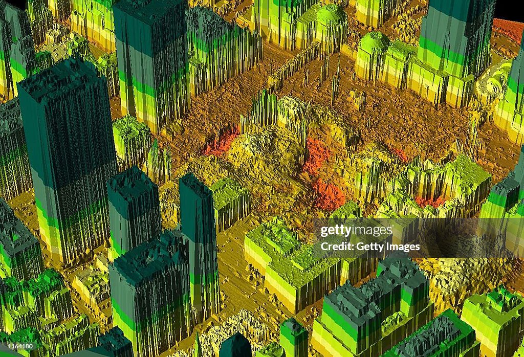
Thermal Imaging Of World Trade Center Site
394659 01: This LIDAR, Light Detection and Ranging, image of the World Trade Center collapse site in New York released April 19, 2001 shows the topography of the area. LIDAR creates the image by bouncing a laser beam off the ground and calculating the time it takes for the beam to return. The darker red areas indicate lower elevations. (Photo by NYC Office of Emergency Management/Getty Images)

購買授權
我可如何使用此圖片?
HK$3,500.00
HKD
詳情
限制條件:
Contact your local office for all commercial or promotional uses. Full editorial rights UK, US, Ireland, Canada (not Quebec). Restricted editorial rights for daily newspapers elsewhere, please call.
來源:
編輯性內容編號:
1164180
圖像集:
Getty Images News
建立日期:
2001年09月19日
上傳日期:
授權類型:
發佈資訊:
無許可授權 更多資料
來源:
Getty Images North America
物件名稱:
39465901ther_20010919_00376.jpg