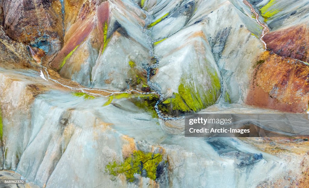
Aerial-Jokulgilskvisl River and Mountain Peaks, Landmannalaugar, Central Highlands, Iceland 照片檔
Landmannalaugar is in the Fjallabak Nature Reserve in the highlands of Iceland. It is at the edge of Laugahraun lava field that was formed in an eruption around the year 1477 and is known for unusual geological elements such as multi-colored rhyolite, geothermal pools and lava fields. This image is shot using a drone.

在 Photos.com 上購買這張圖片,更提供不同的相框選項。
購買授權
所有免版稅授權包含全球使用權限、全面的法律保障,定價簡單並享有計量折扣。
HK$3,500.00
HKD
詳情
創意 #:
868962370
授權類型:
圖像集:
Stone
最大檔案大小:
7166 x 4367 像素 (60.67 x 36.97 cm) - 300 dpi - 21 MB
上傳日期:
位置:
Landmannalaugar, Iceland
發佈資訊:
無需許可授權