vector usa colors map with borders of states and shorts name of each states stock illustration usa, colorado, california, michigan, illinois - 地圖學 幅插畫檔、美工圖案、卡通及圖標美國, 矢量圖, 團結
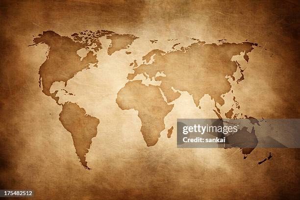
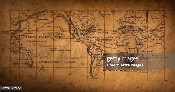
world map - highly detailed vector map of the world. dark vintage retro style. - 地圖學 幅插畫檔、美工圖案、卡通及圖標世界地圖, 非洲 - 地理位置, 矢量圖
navigation solid icons. containing map, pointer, gps, rute icons collection. vector illustration. for website design, logo, app, template, ui, etc. - 地圖學 幅插畫檔、美工圖案、卡通及圖標
vintage illustration arctic circle, map of the north polar regions, victorian 19th century 1870s - 地圖學 幅插畫檔、美工圖案、卡通及圖標歸檔, 復古風格
chart of weather patterns in the pacific ocean, german antique victorian engraving, 1896 - 地圖學 幅插畫檔、美工圖案、卡通及圖標歸檔, 地形學, 澳洲
a vibrant world map composed of tiny triangles, creating a geometric and colorful representation of the globe. - 地圖學 幅插畫檔、美工圖案、卡通及圖標世界地圖, 矢量圖, 背景 - 主題
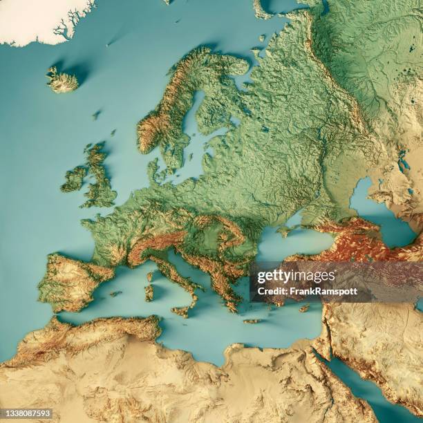
high detailed france blue map with regions and national borders of united kingdom, andorra, spain, belgium, luxembourg, switzerland, germany, italy - 地圖學 幅插畫檔、美工圖案、卡通及圖標法國, 矢量圖, 比利時