hurricane kristy 2024 cloud map eastern tropical pacific 3d render neutral - 太平洋 個照片及圖片檔颶風, 從衛星觀看, 天氣
powerful schools of frigate mackerel, auxis thazard attacking a large school of silver-stripe round herrings (spratelloides gracilis).bullet tuna, auxis rochei rochei,frigate tuna, auxis thazard thazard, - 太平洋 個照片及圖片檔魚群
the beautiful schools of dark-banded fusilier (pterocaesio tile) and stout chromis (chromis chrysura) and others in beautiful white beach and coral reef. - 太平洋 個照片及圖片檔沖繩縣, 珊瑚 - 刺胞動物, 水中
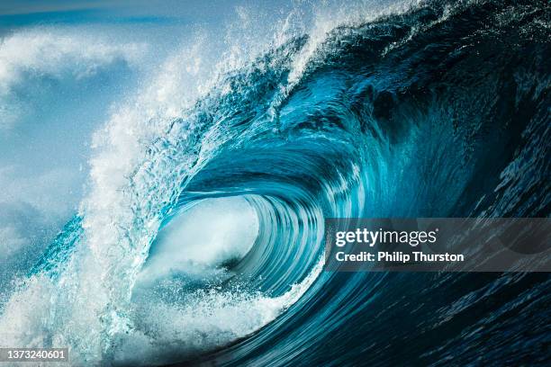
close up detail of powerful teal blue wave breaking in open ocean on a bright sunny afternoon - 太平洋 個照片及圖片檔碎浪, 藍色, 活力
Mushroom cloud from a 23 kiloton atomic bomb detonated 90 feet underwater during Operation Crossroads along the Bikini Atoll. This was the second...污染
Marines wallow through the surf for a landing on the beach at Cape Gloucester, New Britain Island, Papua, New Guinea, World War II. They hold their...第二次世界大戰, 美國, 巴布亞新幾內亞
In an aerial view, people gather as Pacific Ocean waves break on July 31, 2026 in Huntington Beach, California. An extreme heat warning is in effect...
aerial view of turquoise coastal waters and lush hills under clear blue sky - 太平洋 個照片及圖片檔風景 - 大自然, 太陽光, 藍色
United States military helicopter lands on the deck of USS Savannah warship, during a multilateral maritime exercise between United States, Japan and...
Filipino Naval officer onboard a military vessel looks on, as a United States Navy USS Comstock warship manoeuvres in the West Philippine Sea, as...
world map - high quality print vector map of the world in bright colors - 太平洋 幅插畫檔、美工圖案、卡通及圖標世界地圖, 歐洲, 南美
Formation of aircraft from the USS Carl Vinson aircraft carrier conducts a flyover past a flotilla, including the Arleigh-Burke class guided missile...台灣, 驅逐艦, 日本
Palms are hit by strong wind and rain from Tropical Storm Hilary in the deserts of Southern California on August 20, 2023 in Palm Desert, California....颶風, 加州
clayoquot sound, tofino coastline, pacific rim national park, vancouver island, british columbia, canada. - 太平洋 個照片及圖片檔加拿大
detailed world map divided into six continents - accurate & correct version - 太平洋 幅插畫檔、美工圖案、卡通及圖標世界地圖, 矢量圖, 歐洲