View of the Lower Mississippi River Physical Model at the LSU Center For River Studies on August 23, 2019 in Baton Rouge, Louisiana. The 10,000...
With the Mississippi River to the far left and the Gulf of Mexico to the far right, an aerial view shows a successful terracing project that...鳥瞰, 墨西哥灣
The Mississippi River runs through New Orleans in Louisiana, circa 1830. An engraving by W. Ridgeway from 'The History of the United States, Volume...新奧爾良
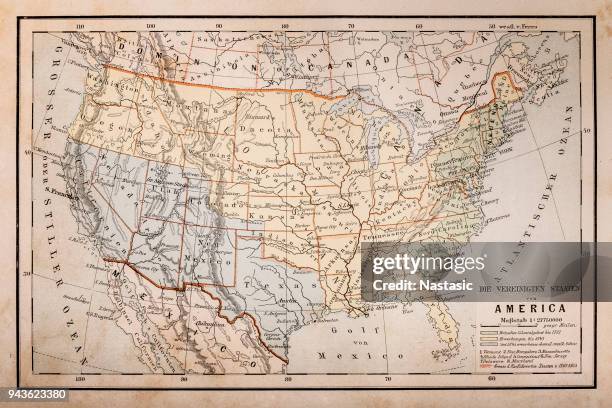
Color coded map showing the territorial claims of the states to western lands east of the Mississippi River, 1783 It includes British possessions...美國
mississippi state environmental conservation and nature interface icon pattern - 密西西比河 幅插畫檔、美工圖案、卡通及圖標環境保護, 綠色
Map of Louisiana and the course of the Mississippi River, a vast region settled by the French in the early 18th century and now divided between...18世紀風格, 西部拓荒
An infographic titled 'Helicopter crashes into barge on Mississippi River' created in Ankara, Turkiye on August 7, 2025.
Sunrise over the Crescent City Connection bridge, formerly the Greater New Orleans Bridge, crossing the Mississippi River in downtown New Orleans,...
new orleans, louisiana skyline and the mississippi river from algiers neighborhood - 密西西比河 個照片及圖片檔新奧爾良, 夏天, 鳥瞰
General views of the St. Croix Crossing bridge and the St Croix river, a tributary of the Mississippi River and a borderline between Minnesota and...威斯康辛州, 蒸汽船, 美國
In an aerial view, pipes lay across the Mississippi River as the U.S. Army Corp of Engineers moves silt onto an underwater sill at the bottom of the...鳥瞰, 美國
The confluence of the St. Croix and Mississippi Rivers is seen from the air on May 31, 2012. AFP PHOTO / Karen BLEIER