Cartography, 16th century. Map of North America, detail depicting vegetation and American Indians' huts. From the Atlas by Lazaro Luis, 1563.
Cartography, 16th century. Map of India and Indian Ocean by Pedro and Jorge Reinel, Lopo Homen and Antonio de Holanda . From Miller Atlas, 1519.印度洋
Cartography, 17th century. Nautical chart of the Central-Eastern Mediterranean Sea and wind roses. Second chart, from a nautical atlas of the...
Cartography, 16th century. Chart for navigating the newly discovered islands in parts of India also known as the Carta del Cantino, 1502. Detail:...
Cartography, 17th century. Map of the Mediterranean and the Black Sea, by French admiral Albin Roussin, 1654.歸檔, 地中海, 黑海
portugal, lisbon, belem, high angle view of compass rose and map mosaic near marina, jeronimos monastery in background - 方向圖 個照片及圖片檔馬賽克
[Inside back cover of atlas showing housing for magnetic compass, needle missing], from a manuscript portolan atlas by, or from the office of,...
An early 17th century map of the world on Mercator's projection, This unique Amsterdam 1608 state of the map by Jodocus Hondius Senior hangs in the...
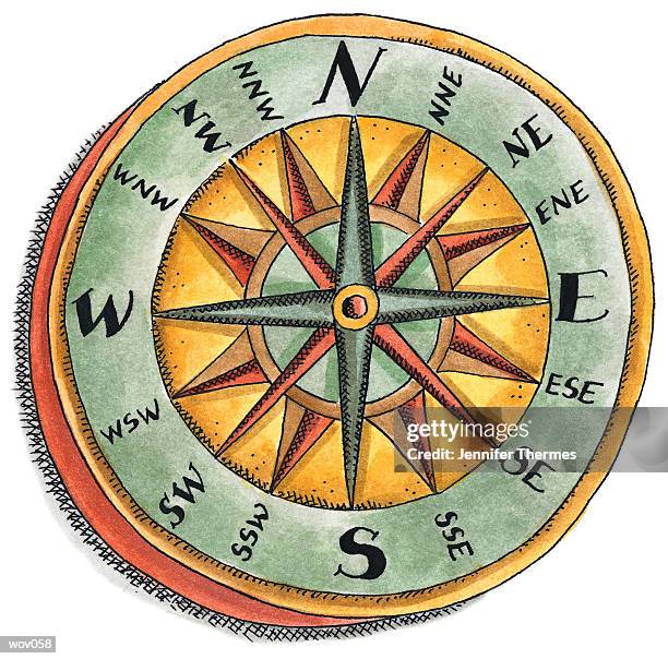
Woodblock engraving depicting a compass rose showing the cardinal points. This type of compass probably came into use in the west in the beginning of...
Segment compass rose inside Sagres Fortress. The fort was designed to protect the town from raiders from North African. It was from here that Henry...
Segment compass rose inside Sagres Fortress. The fort was designed to protect the town from raiders from North African. It was from here that Henry...