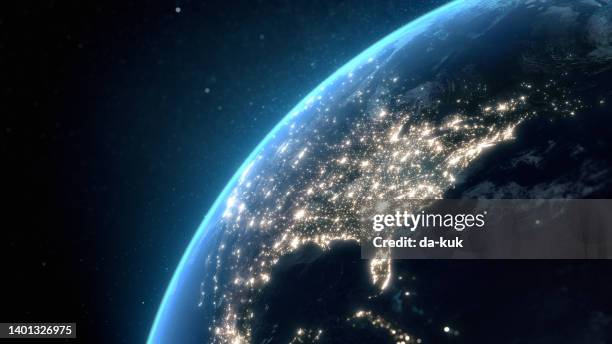
flying over usa at night with city light illumination. view from space. 3d render - 美國東部 個照片及圖片檔地球, 美國, 從衛星觀看
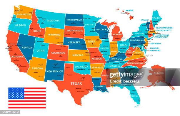
usa map isolated on white background including hawaii and alaska with short name abbreviation for each state. - 美國東部 幅插畫檔、美工圖案、卡通及圖標美國, 美國文化, 矢量圖
usa - detailed map with regions and cities. set of flags, globe, country outline, country location on world map. - 美國東部 幅插畫檔、美工圖案、卡通及圖標美國, 世界地圖, 矢量圖
drone shot of container yard and coal terminal with city of baltimore in distance - 美國東部 個照片及圖片檔商業碼頭, 巴爾的摩 - 馬里蘭州, 美國
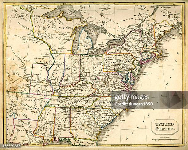
map of the united states with state names and geographic boundaries. - 美國東部 幅插畫檔、美工圖案、卡通及圖標美國, 美國文化, 矢量圖
manhattan financial district, brooklyn bridge and east river illuminated at dusk, aerial view, new york city, usa - 美國東部 個照片及圖片檔紐約市, 夜晚, 城市
long exposure of waves crashing onto the shore near otter point, acadia national park, maine - 美國東部 個照片及圖片檔緬因州, 大自然
the lake at central park, with view of the skyscrapers of central park south in the background. new york city, usa - 美國東部 個照片及圖片檔秋天, 紐約市, 中央公園 - 曼克頓