Tourists take photos at Bixby Bridge. The photogenic structure is now accessible from the south after Highway 1 re-opened in both directions on...山崩
Photogenic Bixby Bridge is now accessible from the south after Highway 1 re-opened in both directions on Wednesday, Jan. 14, 2026.山崩
An aerial view of a beachside homes destroyed in the Palisades Fire along Pacific Coast Highway as wildfires cause damage and loss through the LA...加州, 2025年帕利塞茲火災, 森林大火
This aerial picture shows the remains of oceanfront homes destroyed in the Palisades Fire along the Pacific Coast Highway in Malibu, California, on...2025年帕利塞茲火災
Vehicles run on the Palisades section of Pacific Coast Highway along scorched structures and trees by wildfires on January 12, 2025 in Los Angeles,...洛杉磯市, 森林大火, 加州
Buildings and cars destroyed by the Palisades fire lay along the Pacific Coast Highway in Malibu, California, on January 8, 2025. At least five...加州
Road workers from Treichert Construction finish creating a temporary one-way roadway on the site of the CA Highway 1 road collapse, called the Rocky...
Hole is visible where a section of southbound Highway 1 broke off and fell in the ocean at Rocky Creek Bridge on April 02, 2024 near Big Sur,...加州
Malibu, CA, Monday, October 23, 2023 - An overhead view near the 21600 block of Pacific Coast Highway where four Pepperdine students were killed by a...
Photogenic Bixby Bridge is now accessible from the south after Highway 1 re-opened in both directions on Wednesday, Jan. 14, 2026.山崩
Photogenic Bixby Bridge is now accessible from the south after Highway 1 re-opened in both directions on Wednesday, Jan. 14, 2026.加州, 旅遊業, 美國
bixby bridge on the scenic pacific coast highway overlooking the pacific ocean and rugged coastline,united states,usa - 1號公路 個照片及圖片檔
Caltrans employees and contractors work to stabilize the southbound portion of CA Highway 1 that collapsed into the Pacific Ocean, which occurred on...
drone shot of blue suv on california state route 1 on sunny day in sonoma county, california - 1號公路 個照片及圖片檔開車, 鳥瞰, 無人機角度
scenic view of landscape against sky during sunset,harmony headlands state park,california,united states,usa - 1號公路 個照片及圖片檔日落, 加州, 美國
An aerial view of beachside homes destroyed in the Palisades Fire along Pacific Coast Highway as wildfires cause damage and loss through the LA...2025年帕利塞茲火災, 加州, Topix
An aerial view of a beachside homes destroyed in the Palisades Fire along Pacific Coast Highway as wildfires cause damage and loss through the LA...加州
This is Route 1also known as the Pacific Coast Highway, The road is situated next to the ocean with the mountains in the distance, The road goes off...
Huntington Beach, CA Seawater fills Pacific Coast Highway during high tide in Sunset Beach on Tuesday, October 27, 2026. High tide, combined with El...
Laguna Beach, CA A drone view of Caltrans crew surveying and monitoring protective plastic sheeting placed over a long crack in a hillside alongside...
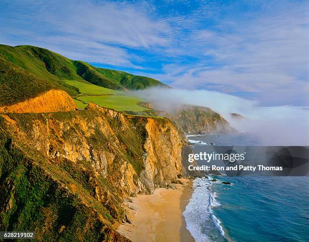
Rugged ocean view of Notley's Landing Big Sur off Route 1, PCH, Pacific Ocean and Sea rocks springtime and green grass, California.
flowering orange california poppies along the highway on a hillside near big sur, - 1號公路 個照片及圖片檔加州, 高速公路
Tourists take photos at Bixby Bridge. The photogenic structure is now accessible from the south after Highway 1 re-opened in both directions on...美國, 旅遊業
Malibu, CA The remains of beachside homes that burned along Pacific Coast Highway during the Palisades Fire in Malibu, CA, on Wednesday, January 15,...房屋
Malibu, CA Destroyed homes along Pacific Coast Highway in Malibu, CA, during the Palisades Fire on Thursday, January 9, 2025.加州, 房屋