sweeping drone shot of elysian park and downtown los angeles skyline at sunrise - 加州 個影片檔及 b 捲影像00:14無人機角度
zoom in to california, us from earth. satellite view of the united states of america. cinematic world map animation from outer space to territories. the concept of usa, highlight, globe, aerial view, tourism, travel, journey, cityscape - 加州 個影片檔及 b 捲影像00:16美國, 地球
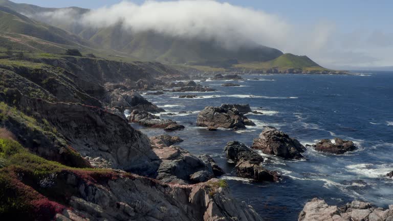
drone aerial flight view of sapphire sea on the big sur coastline west california next to route 1 - 加州 個影片檔及 b 捲影像00:11無人機角度, 大自然
wildfire holy fire rages in the mountains near lake elsinore, california - 加州 個影片檔及 b 捲影像00:16森林大火, 天災
drone shot of us and ca flags flying over california state capitol with dramatic lens flare - 加州 個影片檔及 b 捲影像00:28無人機角度
aerial: drone moving over rocks in sea by cliff against mountains - big sur, california - 加州 個影片檔及 b 捲影像00:16無人機角度
aerial footage of an overpass leading cars to and from torrey pines state beach with views of the pacific ocean in san diego, california stock video - 加州 個影片檔及 b 捲影像00:12開車
high angle traffic jam on santa monica freeway + heat waves / los angeles - 加州 個影片檔及 b 捲影像00:11熱浪, 塞車
the hollywood hills became the scene of the latest los angeles area wildfire wednesday night as firefighters struggled to contain out-of-control... - 加州 個影片檔及 b 捲影像02:28森林大火
backwards drone flight around california state capitol revealing setting sun and tower bridge - 加州 個影片檔及 b 捲影像00:37無人機角度, 日落