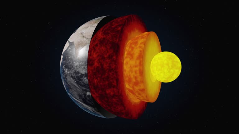
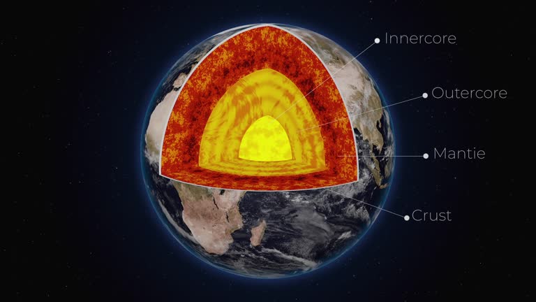
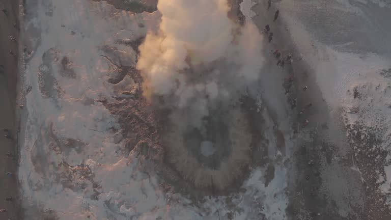
3d animation with cutaway illustration of earths layered structure showing inner-outer core, mantle, and crust - 地殼 個影片檔及 b 捲影像00:15
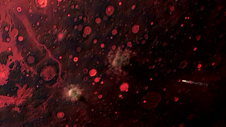
an animation depicts the radius of impact of a meteor strike on the earth's crust. - 地殼 個影片檔及 b 捲影像00:34
exploring a stunning glacier landscape during the late afternoon in the mountains with dramatic sky and rugged terrain - 地殼 個影片檔及 b 捲影像00:18
animation of planet earth and seismic waves originating in turkey. seismograph of earthquake. man measures seismograph recording - 地殼 個影片檔及 b 捲影像00:21
the earth's crust collapses in a cloud of dust and debris in a computer generated animation. - 地殼 個影片檔及 b 捲影像00:15
aerial drone view following power line wire across green marsh and wetland landscape - 地殼 個影片檔及 b 捲影像00:12
expansive dry landscape under a clear blue sky, showing the effects of drought and arid conditions - 地殼 個影片檔及 b 捲影像00:07
aerial view of dry cracked earth in a barren field with utility poles under a clear sky - 地殼 個影片檔及 b 捲影像00:09
a rising overhead aerial/drone view onto pink alumina mine tailings in australia - 地殼 個影片檔及 b 捲影像00:23
aerial drone view of a dry, eroded african savanna landscape with scattered trees and distant settlement - 地殼 個影片檔及 b 捲影像00:24
aerial view of a vast african landscape featuring dry bushland and majestic mountains under a cloudy sky - 地殼 個影片檔及 b 捲影像00:23
majestic himalayan peaks covered in pristine snow and ice glaciers, aerial view of mountain landscape - 地殼 個影片檔及 b 捲影像00:14