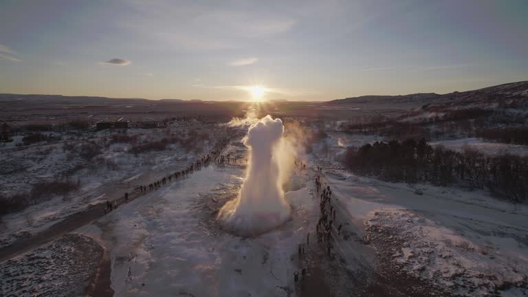
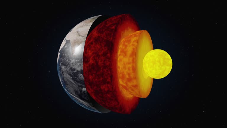
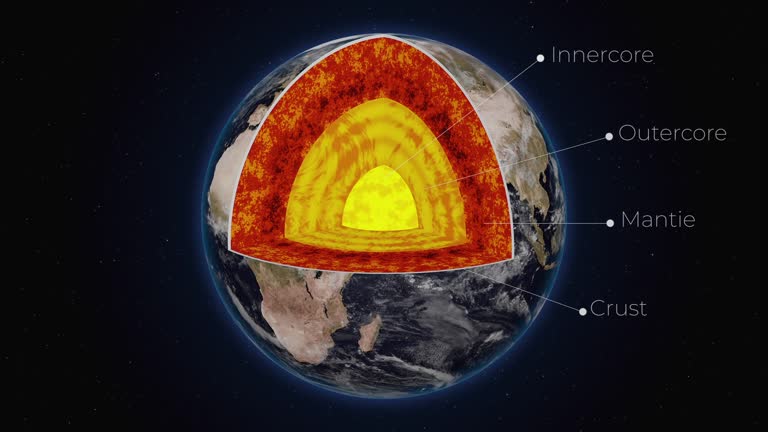
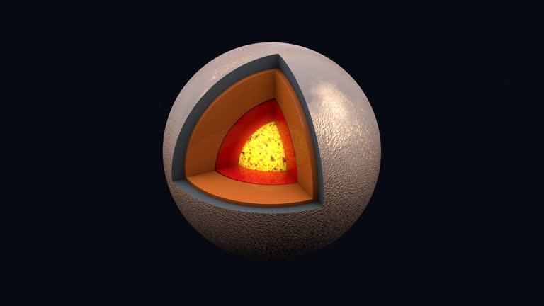
3d animation with cutaway illustration of earths layered structure showing inner-outer core, mantle, and crust - 地殼 地質學 個影片檔及 b 捲影像00:15
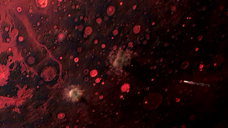
an animation depicts the radius of impact of a meteor strike on the earth's crust. - 地殼 地質學 個影片檔及 b 捲影像00:34
exploring a stunning glacier landscape during the late afternoon in the mountains with dramatic sky and rugged terrain - 地殼 地質學 個影片檔及 b 捲影像00:18
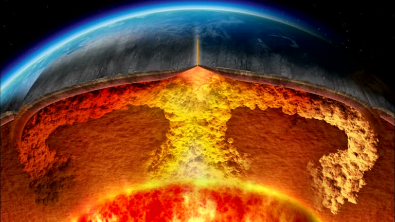
a cross-section shows vulcanism beneath the earth's crust. available in hd. - 地殼 地質學 個影片檔及 b 捲影像00:29
a cross-section of the earth shows volcanic activity under the crust. available in hd. - 地殼 地質學 個影片檔及 b 捲影像00:31
the moon: a giant step in geology - part 23 of 41. documentation of the first lunar landing and rock samples brought back by astronauts have unlocked many mysteries of moon geology. this film shows scientists at houston's lunar receiving laboratory analyz - 地殼 地質學 個影片檔及 b 捲影像00:31地球
animation of planet earth and seismic waves originating in turkey. seismograph of earthquake. man measures seismograph recording - 地殼 地質學 個影片檔及 b 捲影像00:21
the earth's crust collapses in a cloud of dust and debris in a computer generated animation. - 地殼 地質學 個影片檔及 b 捲影像00:15
aerial drone view following power line wire across green marsh and wetland landscape - 地殼 地質學 個影片檔及 b 捲影像00:12
expansive dry landscape under a clear blue sky, showing the effects of drought and arid conditions - 地殼 地質學 個影片檔及 b 捲影像00:07
aerial view of dry cracked earth in a barren field with utility poles under a clear sky - 地殼 地質學 個影片檔及 b 捲影像00:09
a rising overhead aerial/drone view onto pink alumina mine tailings in australia - 地殼 地質學 個影片檔及 b 捲影像00:23
aerial drone view of a dry, eroded african savanna landscape with scattered trees and distant settlement - 地殼 地質學 個影片檔及 b 捲影像00:24
aerial view of a vast african landscape featuring dry bushland and majestic mountains under a cloudy sky - 地殼 地質學 個影片檔及 b 捲影像00:23