pasadena, ca, u.s., dr. lucy jones explaining earthquake activity in southern californias, on thursday, july 4, 2019. - 地質學 個影片檔及 b 捲影像00:39
panning shot across the cross section of a geode, displaying a beautiful crystal interior. - 地質學 個影片檔及 b 捲影像00:17
aerial sunrise view of a lone traveler standing on a rocky pinnacle at moonscape overlook, utah, with dramatic badlands, sandstone cliffs and distant mountains, american southwest adventure travel, geology and wilderness tourism concept - 地質學 個影片檔及 b 捲影像00:19
aerial view of the multi-colored aktau mountains in kazakhstan featuring horizontal mineral strata and arid desert terrain during morning light. - 地質學 個影片檔及 b 捲影像00:16
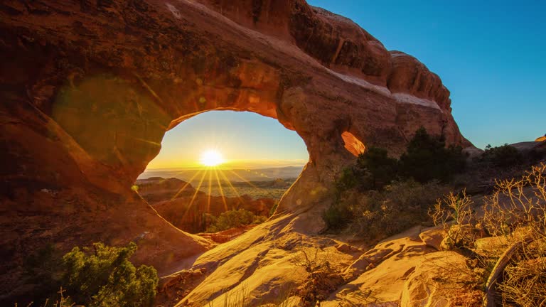
abstract movement through antelope canyon with flowing red sandstone walls in arizona, usa - 地質學 個影片檔及 b 捲影像00:14美國
aerial top-down view of eroded limestone cliffs in aktau, kazakhstan, showing intricate sedimentary patterns and harsh afternoon shadows. - 地質學 個影片檔及 b 捲影像00:10
aerial view of white limestone cliffs and a salt lake in the mangystau region, kazakhstan, under overcast morning light. - 地質學 個影片檔及 b 捲影像00:11
aerial establishing shot of shiprock rock formation, navajo nation, new mexico - 地質學 個影片檔及 b 捲影像00:31
aerial top-down view of intricate erosion patterns and colorful mineral veins in the aktau mountains, kazakhstan, during morning light. - 地質學 個影片檔及 b 捲影像00:17
aerial sunset view of the ustyurt plateau and limestone canyon formations in bozzhyra, mangystau region, kazakhstan. - 地質學 個影片檔及 b 捲影像00:16
stunning aerial view of red rock hoodoos in bryce canyon national park, utah - geological wonder - 地質學 個影片檔及 b 捲影像00:07美國
scenic view of the majestic red rock formations and arid desert landscape of capitol reef national park in utah under a clear blue sky on a sunny day - 地質學 個影片檔及 b 捲影像00:07美國
daytime coal mining with heavy machinery digging rocks and loading onto conveyor belts in dusty air - 地質學 個影片檔及 b 捲影像00:07
aerial drone of the historic noravank monastery surrounded by dramatic mountain landscapes in armenia. - 地質學 個影片檔及 b 捲影像00:17
group of friends hiking in the mountains. sitting around a map and planning their journey - 地質學 個影片檔及 b 捲影像00:10
geologist inspecting a mine, explorers collect soil samples in search of aragonite minerals. - 地質學 個影片檔及 b 捲影像00:06
an abstract overhead aerial/drone view onto svinafellsjokull glacier in iceland - 地質學 個影片檔及 b 捲影像00:17大自然
aerial video showing the ord river weaving through a rocky landscape, lake argyle, western australia, australia - 地質學 個影片檔及 b 捲影像00:17
sequence showing male and female scientists using large reel-to-reel computers to monitor seismic activity along the san andreas fault inside the us... - 地質學 個影片檔及 b 捲影像00:16美國, 女人
sequence showing a female scientist checking seismograph rolls monitoring seismic activity along the san andreas fault inside the us national... - 地質學 個影片檔及 b 捲影像00:07女人, 美國
rock textures at low tide at the sakoneta flysch and punta mendata on the cantabrian coast in deva. aerial view from a drone. cantabrian sea. gipuzkoa province. basque country. spain. europe - 地質學 個影片檔及 b 捲影像00:34岩石
aerial top upward shot of natural pattern of eroded rock formation on tranquil landscape - moab, utah - 地質學 個影片檔及 b 捲影像00:10
3d animation with cutaway illustration of earths layered structure showing inner-outer core, mantle, and crust - 地質學 個影片檔及 b 捲影像00:15
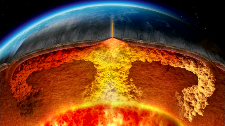
a cross-section of the earth shows volcanic activity under the crust. available in hd. - 地質學 個影片檔及 b 捲影像00:31
floating and rotating gray rocks in mid-air - commercial stock photography material - 地質學 個影片檔及 b 捲影像00:20岩石
volcanologist descends into violently erupting volcano, marum volcano, ambrym island, vanuatu - 地質學 個影片檔及 b 捲影像00:18大自然
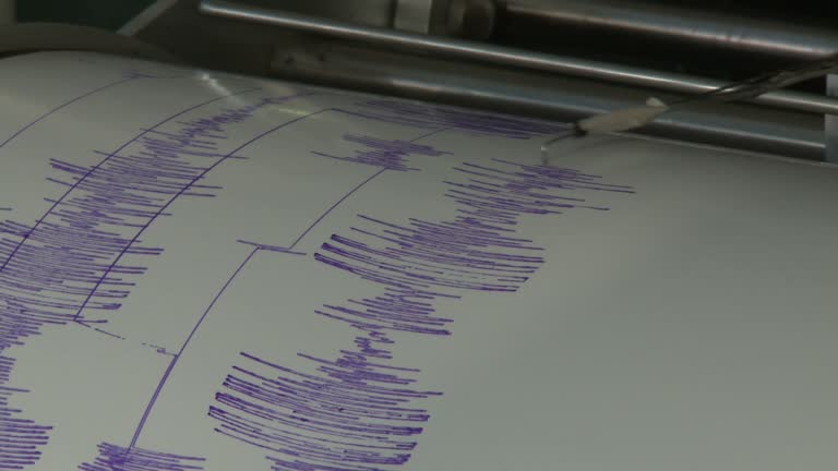
seismograph records and registers powerful earthquakes, philippines, dec 2009 - 地質學 個影片檔及 b 捲影像00:16地震儀, 菲律賓
la rioja argentina drone mountain landscape andes mountain range with road rivers and vegetation - 地質學 個影片檔及 b 捲影像00:28