aerial landscape in the eastern quadrant of big bend national park, flying towards mckinney hills. - 奇瓦瓦沙漠 個影片檔及 b 捲影像00:06
near mariscal canyon in big bend national park, the rio grande winds through the desert with reduced water levels. - 奇瓦瓦沙漠 個影片檔及 b 捲影像00:04風景 - 大自然
flying over big bend desert towards the sierra quemadas and their landmark, elephant tusk. - 奇瓦瓦沙漠 個影片檔及 b 捲影像00:41
dry creekbeds or arroyos lie nestled among the furrowed foothills of mariscal mountain in big bend national park. - 奇瓦瓦沙漠 個影片檔及 b 捲影像00:15
a two-lane paved road winds through big bend national park leading to the high chisos mountains. - 奇瓦瓦沙漠 個影片檔及 b 捲影像00:41
panning over an expansive big bend landscape, with burro mesa and the chisos mountains on the horizon. - 奇瓦瓦沙漠 個影片檔及 b 捲影像00:48
early morning shot of the sierra quemada mountains in big bend national park, texas. - 奇瓦瓦沙漠 個影片檔及 b 捲影像00:18
aerial shot of the dry terlingua creek with santa elena canyon, big bend national park. - 奇瓦瓦沙漠 個影片檔及 b 捲影像01:57
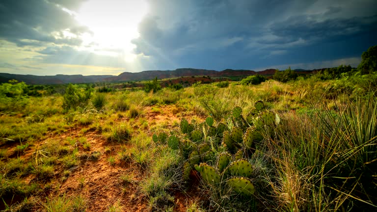
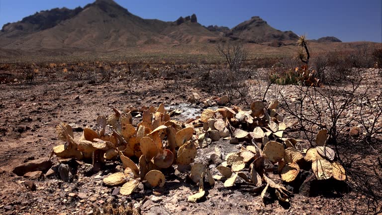
arid southwest landscape in big bend country, brewster county, texas. the arid region known as big bend lies in the texas side of the chihuahuan desert. - 奇瓦瓦沙漠 個影片檔及 b 捲影像00:04
aerial shot in big bend national park flying over homer wilson ranch house into blue creek canyon. - 奇瓦瓦沙漠 個影片檔及 b 捲影像00:53
the rattlesnake badlands in big bend national park, seen from a birds eye view. - 奇瓦瓦沙漠 個影片檔及 b 捲影像00:24
big bend's rattlesnake badlands fill the screen with an aerial nadir shot. badlands are areas of dry terrain inhospitable to plant growth, where extensive erosion can reveal colorful clays. - 奇瓦瓦沙漠 個影片檔及 b 捲影像00:38
aerial vista of the colorful rattlesnake badlands in big bend national park, texas. - 奇瓦瓦沙漠 個影片檔及 b 捲影像00:31
suv driving through rugged desert landscape in big bend national park, texas. - 奇瓦瓦沙漠 個影片檔及 b 捲影像00:55
an suv travels along the base of pena mountain driving toward santa elena canyon in big bend national park, texas. - 奇瓦瓦沙漠 個影片檔及 b 捲影像01:15
aerial shot tracking around suv as it drives along a dirt road in big bend national park, texas. - 奇瓦瓦沙漠 個影片檔及 b 捲影像00:26
an suv takes old maverick road towards pena mountain in big bend national park, texas. - 奇瓦瓦沙漠 個影片檔及 b 捲影像00:30
big bend's southwest quadrant, panning across the rattlesnake mountains and rugged desert. - 奇瓦瓦沙漠 個影片檔及 b 捲影像00:49
long shot of rattlesnake mountains, located in the southwest area of big bend national park, texas. - 奇瓦瓦沙漠 個影片檔及 b 捲影像00:06風景 - 大自然
aerial shot tracking one of big bend's few sources of water, the nearly dry terlingua creek, a tributary of the rio grande. - 奇瓦瓦沙漠 個影片檔及 b 捲影像00:50
terlingua creek, one of the tributaries of the rio grande flowing through big bend national park, texas. - 奇瓦瓦沙漠 個影片檔及 b 捲影像00:16
emerging from santa elena canyon where kayakers take a leisurely trip on the rio grande in big bend national park, texas. - 奇瓦瓦沙漠 個影片檔及 b 捲影像00:20
kayakers paddle downstream at the mouth of the santa elena canyon in big bend national park, texas. - 奇瓦瓦沙漠 個影片檔及 b 捲影像00:26
the chimneys, a group of rock formations created through a combination of volcanic forces and erosion in big bend national park, texas. - 奇瓦瓦沙漠 個影片檔及 b 捲影像00:39
maverick drive, a two-lane paved road, stretches through an arid landscape near pulliam peak in big bend national park. - 奇瓦瓦沙漠 個影片檔及 b 捲影像00:12
mule ear peaks seen in aerial perspective in big bend's sierra quemada mountains. - 奇瓦瓦沙漠 個影片檔及 b 捲影像00:17
flowering ocotillo cactus, sky and clouds in big bend national park - time lapse - 奇瓦瓦沙漠 個影片檔及 b 捲影像00:12