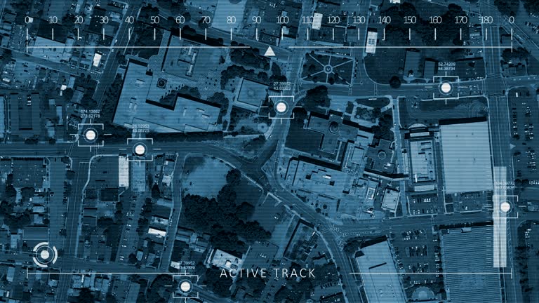
a self-driving electric car that understands traffic density on the highway directs itself to a shorter route - 4k resolution - 導航儀器 個影片檔及 b 捲影像00:46開車
aerial bird view of cityscape and skyscrapers at night / data network connection technology concept - 導航儀器 個影片檔及 b 捲影像00:10智慧城市
inside a fokker f.viia-3m trimotor monoplane, famous aviator richard evelyn byrd jr. takes a a sextant reading above the north pole, 1926. richard... - 導航儀器 個影片檔及 b 捲影像00:19明星
woman use mobile app searching electric charging station location for renew energy of ev car while driving on road - 導航儀器 個影片檔及 b 捲影像00:10開車
autonomous driving system, sensors for object detection, and the vehicle in front,a self-driving car, futuristic style - 導航儀器 個影片檔及 b 捲影像00:14軍事
business, travel and happy woman with phone in a city street for location, search or networking. smartphone, guide and female entrepreneur online in mexico for map, navigation or chauffeur service - 導航儀器 個影片檔及 b 捲影像00:07手機, 女人
futuristic multi screen gadget panel, futuristic hud holographic digital city map, navigation animation night, navigation city map gps navigation, localization night animation. - 導航儀器 個影片檔及 b 捲影像00:12
global network, blue - zoom in - global business, flight routes, connection lines - 導航儀器 個影片檔及 b 捲影像00:20地球, 星球
detail of female hand holding smartphone looking around at a map to follow the gpx line - 導航儀器 個影片檔及 b 捲影像00:07
map showing location of samoa and fiji islands / fiji village with thatched roof huts among palm trees / men sitting cross legged in group on ground... - 導航儀器 個影片檔及 b 捲影像01:40
1925 c/u animated map showing boat leaving liverpool, england and travelling along the amazon river - 導航儀器 個影片檔及 b 捲影像00:15
cu pan view of north america in world map with push pins / atlanta, georgia, usa - 導航儀器 個影片檔及 b 捲影像00:11
medium angle, sonar display with missile launch graphics and activity on screen. see collision alert flash on screen as two missile shapes move from left toward submarine target at right. see crash and green graphics. - 導航儀器 個影片檔及 b 捲影像00:23飛彈
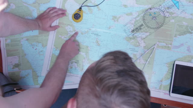
cu, tu, td, icebreaker officers in navigation bridge looking at navigation charts, russia - 導航儀器 個影片檔及 b 捲影像00:12俄羅斯
cu, la, group of children (8-11) reading compass standing in forest, bovina, new york state, usa - 導航儀器 個影片檔及 b 捲影像00:27
jet flight; view from cabin window during flight / various of passengers sleeping, pilot sleeping / ronnie hubbert removing shoes and putting... - 導航儀器 個影片檔及 b 捲影像03:04飛機
polaris submarine support operation; int/submarinecms officer on telephone speaks sof"just received a signal from northwood - task is to intercept... - 導航儀器 個影片檔及 b 捲影像00:33北極星
polaris submarine support operation; itnnorthwood:intcms admiral sir julian oswald interview sof"the soviets have -- of the 1990s"inton board... - 導航儀器 個影片檔及 b 捲影像00:40
computer generated image gps navigation / zoom in identification of geographic area - 導航儀器 個影片檔及 b 捲影像00:15軍事
compilation 2; saudi arabia: tabuk airbase:intinterior of control room showing raf officers and men preparing for an operation / officers looking at... - 導航儀器 個影片檔及 b 捲影像04:45
admiral richard e. byrd shakes hands with other men in front of his josephine ford fokker trimotor airplane. - 導航儀器 個影片檔及 b 捲影像00:24
aircraft carrier on the ocean / pan of map being studied by officers / plane taking off from carrier / ship on sea with guns firing, smoke from... - 導航儀器 個影片檔及 b 捲影像00:30第二次世界大戰
the captain of the greenpeace rainbow uses maps and charts to plot his next course whilst berthed at chittagong in bangladesh during its conversion to a hospital ship - 導航儀器 個影片檔及 b 捲影像00:34
officers waiting w/ others. wall speaker. male hand on chart holding compass. officer getting confirmation. us sailor in headphones calling ready... - 導航儀器 個影片檔及 b 捲影像00:21第二次世界大戰
navy officer using binoculars on deck near signal light. ship flying maritime flag of four stars. officers in map room of battleship. us battleships... - 導航儀器 個影片檔及 b 捲影像00:16
frozen ice covered deck & rails of steam trawler. int boat w/ fisherman checking depth gauge standing next to compass. dramatization: crew eating at... - 導航儀器 個影片檔及 b 捲影像00:18
sailors on a boat, american flag waving behind them / small american transport boat landing on beach / map of the pacific, zoom in on new britain /... - 導航儀器 個影片檔及 b 捲影像01:14第二次世界大戰
cgi point of view flying away from earth with aura + brightly lit city points into starfield - 導航儀器 個影片檔及 b 捲影像00:10地球
cgi slow motion point of view flying through starfield toward earth with aura + brightly lit city points / sun in background - 導航儀器 個影片檔及 b 捲影像00:27
the prime minister viewed a weather map which played a critical role in the timing of d-day during a visit to the met office in exeter on friday... - 導航儀器 個影片檔及 b 捲影像04:59
ukrainian soldier of the 40th marine brigade prepares an interceptor drone for flight on may 6, 2026 in mykolaiv oblast, ukraine. ukrainian soldiers... - 導航儀器 個影片檔及 b 捲影像00:05