zoom in to limpopo, south africa from earth. satellite view of the southern africa. cinematic world map animation from outer space to territories. the concept of highlight the province, globe, tourism, travel, journey, aerial view of country - 林波波省 個影片檔及 b 捲影像00:16
drone shot over rock formations in mapungubwe national park, south africa. - 林波波省 個影片檔及 b 捲影像00:35無人機角度
ws elephants walking on forest with safari vehicle / hoedspruit, northern province, south africa - 林波波省 個影片檔及 b 捲影像00:15
drone shot over rock formations in mapungubwe national park, south africa. - 林波波省 個影片檔及 b 捲影像00:24無人機角度
ms aerial ds view of rapidly flowing river / polokwane, north west province, south africa - 林波波省 個影片檔及 b 捲影像00:27
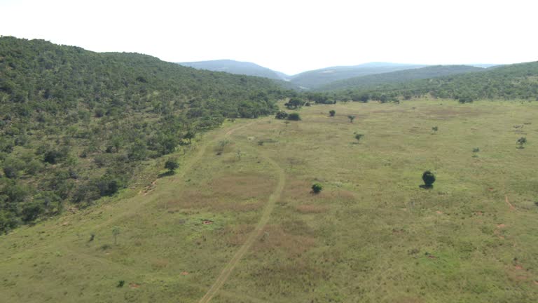
ws aerial view of mountainous terrain with river / polokwane, north west province, south africa - 林波波省 個影片檔及 b 捲影像00:23
drone shot over landscape with shadows made by clouds in the limpopo valley, south africa. - 林波波省 個影片檔及 b 捲影像00:48
many migrants risk everything to reach south africa in search of a better life, including many who make the trek across the limpopo river from... - 林波波省 個影片檔及 b 捲影像06:04
ws truck wetting road to suppress dust on mine road / witbank, northern province, south africa - 林波波省 個影片檔及 b 捲影像00:32