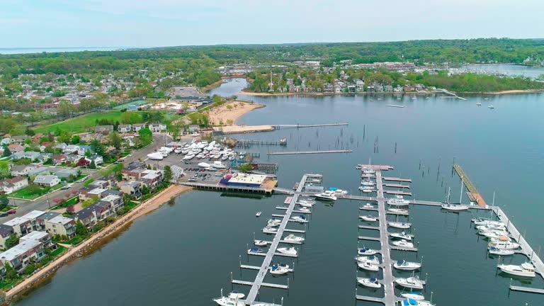
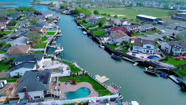
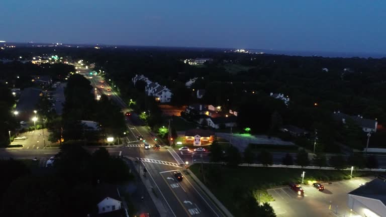
night right after sunset in oceanside, queens, new york. the residential district around the sea channels, with private boats moored on piers, illuminated by the homes and streets lights. aerial video with the forward camera motion. - 長島 紐約州 個影片檔及 b 捲影像00:27
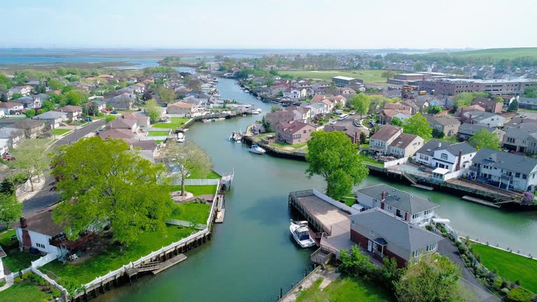
sunset in oceanside, queens, new york. the residential district around the sea channels, with private boats moored on piers, illuminated by the homes and streets lights. aerial video with the panning camera motion. - 長島 紐約州 個影片檔及 b 捲影像00:23
williamsburg residential neighborhood with apartments line against manhattan skyline in brooklyn, ny. aerial footage with forward camera motion - 長島 紐約州 個影片檔及 b 捲影像00:27
空中無人機可以看到紐約市皇后區 oceanside 的一個富裕居民區, 在後院有游泳池的房子和碼頭, 通道沿線有船隻。加速的時間流逝式的複雜向前和向下傾斜相機的運動。 - 長島 紐約州 個影片檔及 b 捲影像00:13
night right after sunset in oceanside, queens, new york. the residential district around the sea channels, with private boats moored on piers, illuminated by the homes and streets lights. aerial video with the forward camera motion. - 長島 紐約州 個影片檔及 b 捲影像00:33日落
modern office and residential buildings in long island city, queens surrounded by older residential developments, on a sunny day in spring. aerial video with the panning-wide-orbiting camera motion. - 長島 紐約州 個影片檔及 b 捲影像00:27
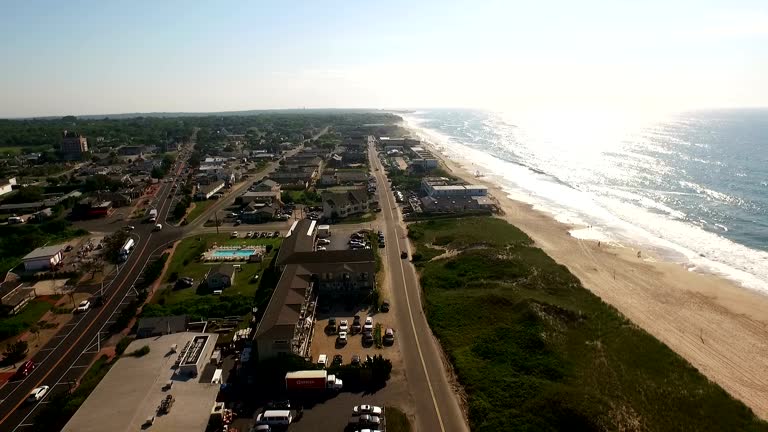
low aerial, sand dunes and beach, napeague state park, montauk, new york, usa - 長島 紐約州 個影片檔及 b 捲影像00:17
apartment complexes contrast with the manhattan skyline in brooklyn, ny. williamsburg neighborhood in new york. aerial footage with backwards camera motion - 長島 紐約州 個影片檔及 b 捲影像00:09無人機角度
ms ws couple carrying surfboards walking into sea and paddling on boards / long beach, new york state, usa - 長島 紐約州 個影片檔及 b 捲影像00:21
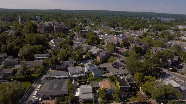
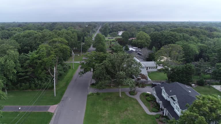
aerial pan down from long island's oyster bay harbor to neighborhood cul de sacs of upper class houses and estates. rooftops, swimming pools, tennis courts, trees, water towers, roads visible. - 長島 紐約州 個影片檔及 b 捲影像02:51
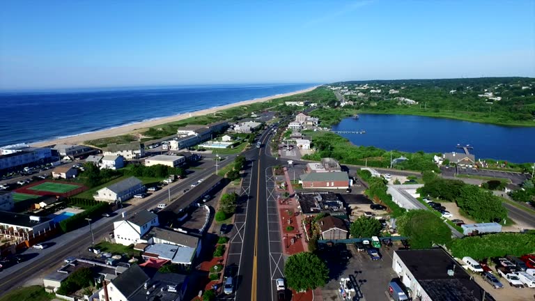
aerial flying over southampton ny towards the ocean, daytime - 長島 紐約州 個影片檔及 b 捲影像00:33風景 - 大自然, 無人機角度
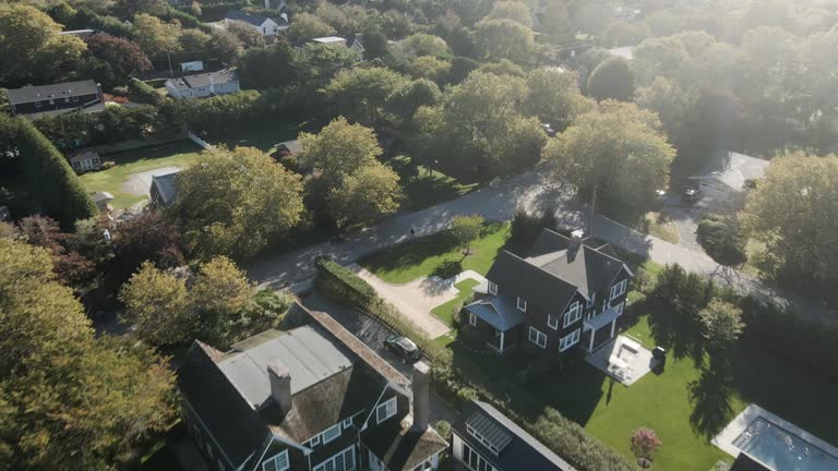
aerial, oceanfront mansions along beach at lily pond lane, east hampton, new york, usa - 長島 紐約州 個影片檔及 b 捲影像00:59
aerial of oyster bay harbor, long island, new york. boats in harbor visible. pans over to sagamore hill area and cold spring harbor with birds eye views of upper class homes and houses, rooftops, swimming pools, tennis courts, estates, trees, beaches. - 長島 紐約州 個影片檔及 b 捲影像02:58
pulaski bridge in long island city with the view of astoria, roosevelt island and remote queensboro bridge and upper east side manhattan. aerial video with the backward camera motion. - 長島 紐約州 個影片檔及 b 捲影像00:26
levittown, new york, is the first of many mass-produced cities to rise after world war ii. - 長島 紐約州 個影片檔及 b 捲影像00:09
low aerial, oceanfront mansions at lily pond lane, east hampton, new york, usa - 長島 紐約州 個影片檔及 b 捲影像00:25
zoom in to babylon, iraq from earth. satellite view of the middle east. cinematic world map animation from outer space to territories. the concept of highlight the province, globe, tourism, travel, journey, aerial view of country, - 長島 紐約州 個影片檔及 b 捲影像00:16地球
sunset in oceanside, queens, new york. the residential district around the sea channels, with private boats moored on piers, illuminated by the homes and streets lights. aerial video with the forward-panning complex camera motion. - 長島 紐約州 個影片檔及 b 捲影像00:21
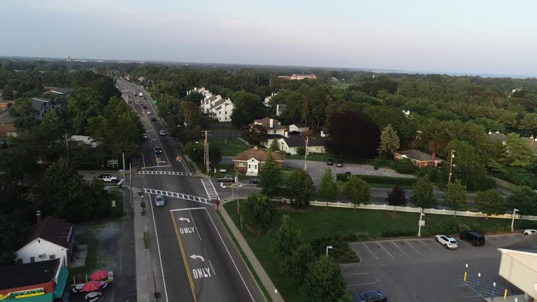
aerial of suburban neighborhood houses, trees, and parks. zoom-in on roslyn high school, rosyln heights, long island, new york. buildings, streets, baseball diamond, parking lot, football field, and tennis courts visible. athletic fields. - 長島 紐約州 個影片檔及 b 捲影像00:35
aerial, oceanfront mansions along beach at east end of georgica pond, east hampton, new york, usa - 長島 紐約州 個影片檔及 b 捲影像00:49鄉村
wide shot man opening door of delicatessen and standing in doorway / looking up + down street - 長島 紐約州 個影片檔及 b 捲影像00:06
night right after sunset in oceanside, queens, new york. the residential district around the sea channels, with private boats moored on piers, illuminated by the homes and streets lights. aerial video with the forward camera motion. - 長島 紐約州 個影片檔及 b 捲影像00:15
aerial flying over mecox bay in long island ny towards the ocean, daytime - 長島 紐約州 個影片檔及 b 捲影像00:39美國, 無人機角度
in an aerial view from the spacetv-1 camera system in space, the finger lakes, new york city and long island, new york, usa can be seen from space on... - 長島 紐約州 個影片檔及 b 捲影像01:26
in an aerial view from the spacetv-1 camera system in space, new york city and long island, new york, can be seen from space on december 16, 2025.... - 長島 紐約州 個影片檔及 b 捲影像01:00
zoom in to new york, us from earth. satellite view of the united states of america. cinematic world map animation from outer space to territories. the concept of highlight the state, globe, tourism, travel, journey, aerial view of country, usa - 長島 紐約州 個影片檔及 b 捲影像00:16
streets flooded during hurricane sandy on october 30, 2012 in long island, new york - 長島 紐約州 個影片檔及 b 捲影像00:46
in an aerial view from the spacetv-1 camera system in space, new york city and long island, new york, can be seen from space on august 15, 2025. this... - 長島 紐約州 個影片檔及 b 捲影像00:44