north carolina map. round icon with long shadow on red or blue background - 北卡羅萊納州 幅插畫檔、美工圖案、卡通及圖標圖示, 地圖, 夏洛特
map of north carolina with watercolor texture - raster illustration - 北卡羅萊納州 幅插畫檔、美工圖案、卡通及圖標地圖, 顏料, 北美
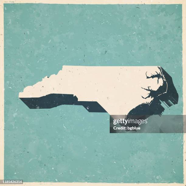
pender county, north carolina. map in retro vintage style - old textured paper - 北卡羅萊納州 幅插畫檔、美工圖案、卡通及圖標地圖
map of southern atlantic coast of north america, strait leading from port royal, 17th century by john white, artist to ralegh colony - 北卡羅萊納州 幅插畫檔、美工圖案、卡通及圖標地圖, 美國, 復古風格