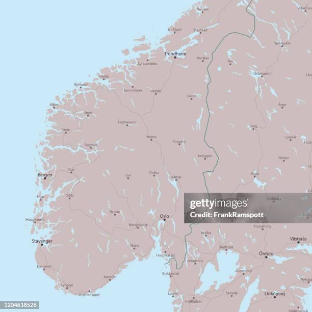
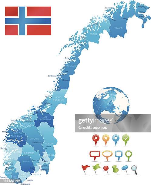
norway - detailed map with regions and cities. set of flags, globe, country outline, country location on world map. - 卑爾根 幅插畫檔、美工圖案、卡通及圖標挪威, 地圖, 矢量圖
antique illustration: fridtjof nansen north pole expedition, ship "fram" leaving bergen - 卑爾根 幅插畫檔、美工圖案、卡通及圖標探險
norway - zoom on world map. animated shape vector map of the norway. 4k video footage. motion graphics - 卑爾根 幅插畫檔、美工圖案、卡通及圖標
german emperor, wilhelm ii being rowing to the ship l'iphigenie at bergen, 1890s, wales 19th century - 卑爾根 幅插畫檔、美工圖案、卡通及圖標
norway - detailed political map of the country featuring major cities, capitals, bodies of water, and a set of navigational symbols. retro-style vector design. - 卑爾根 幅插畫檔、美工圖案、卡通及圖標
high detailed norway map with regions and national borders of sweden, finland, russia, denmark - 卑爾根 幅插畫檔、美工圖案、卡通及圖標挪威, 芬蘭, 瑞典