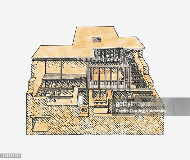
illustration showing the first cities around the world at wasserburg bachau, babylon, mohenjo-daro, shadoof irrigation, and the olmecs' la venta - 卡拉奇 幅插畫檔、美工圖案、卡通及圖標
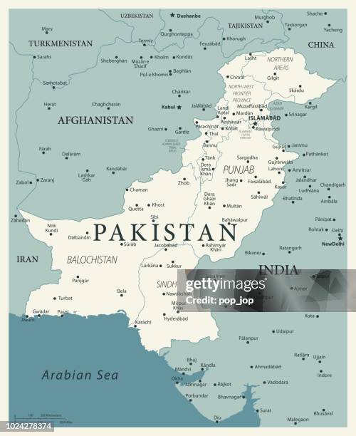
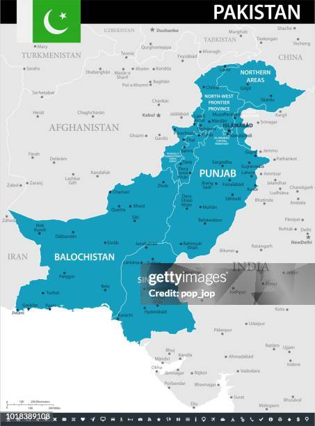
pakistan - detailed political map showing regions, cities, and bodies of water. - 卡拉奇 幅插畫檔、美工圖案、卡通及圖標
pakistan - detailed political map of the country featuring major cities, capitals, bodies of water, and a set of navigational symbols. retro-style vector design. - 卡拉奇 幅插畫檔、美工圖案、卡通及圖標
pakistan - zoom on world map. animated vector map of the pakistan. 4k video footage. motion graphics - 卡拉奇 幅插畫檔、美工圖案、卡通及圖標地圖, 巴基斯坦, 印度
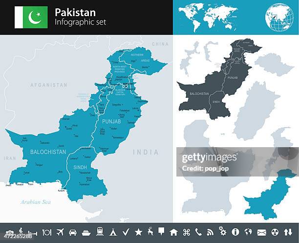
pakistan - detailed administrative map with regions, rivers, cities and national flag. - 卡拉奇 幅插畫檔、美工圖案、卡通及圖標
karachi - handwritten text, highlighted, crossed out, underlined on blank background - 卡拉奇 幅插畫檔、美工圖案、卡通及圖標
map showing layout of ancient indus valley city of mohenjo daro, upper and lower towns - 卡拉奇 幅插畫檔、美工圖案、卡通及圖標地圖
illustration of terracotta amulet showing a trading ship, mohenjo-daro, indus valley - 卡拉奇 幅插畫檔、美工圖案、卡通及圖標