detailed world map divided into six continents - accurate & correct version - 太平洋群島 幅插畫檔、美工圖案、卡通及圖標地圖, 矢量圖, 世界地圖
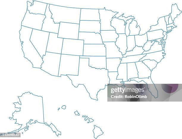
usa colorful detailed map with divided states including hawaii and alaska. separate layer for each state. vector - 太平洋群島 幅插畫檔、美工圖案、卡通及圖標地圖, 美國, 美國文化
united states of america map on transparent background. vector eps 10 - 太平洋群島 幅插畫檔、美工圖案、卡通及圖標美國, 地圖, 矢量圖
usa map isolated on white background including hawaii and alaska with short name abbreviation for each state. - 太平洋群島 幅插畫檔、美工圖案、卡通及圖標美國, 地圖, 美國文化