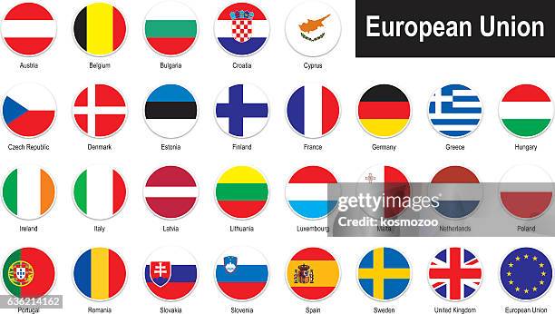
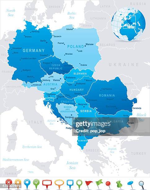
high detailed european union blue map with regions and national borders of spain, portugal, france, germany, italy, austria, croatia, slovakia, slovenia, poland, sweden, finland, greece, hungary, cyprus - 斯洛維尼亞 幅插畫檔、美工圖案、卡通及圖標地圖, 歐洲, 美國
austro-hungarian empire, habsburg monarchy, lithograph, published in 1877 - 斯洛維尼亞 幅插畫檔、美工圖案、卡通及圖標地圖, 皇室, 羅馬尼亞
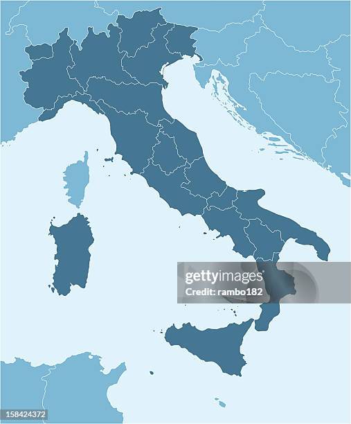
high detailed italy map with regions and national borders of croatia, france, switzerland, austria, slovenia, bosnia and herzegovina - 斯洛維尼亞 幅插畫檔、美工圖案、卡通及圖標地圖, 義大利, 米蘭