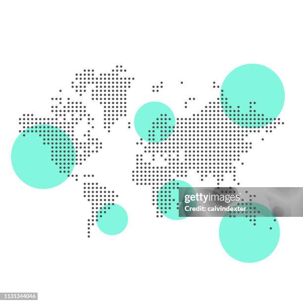
world map geometric abstract stylized. isolated on white background. vector stock illustration - 歐洲 幅插畫檔、美工圖案、卡通及圖標世界地圖, 國家 - 地域, 地圖
detailed world map divided into six continents - accurate & correct version - 歐洲 幅插畫檔、美工圖案、卡通及圖標世界地圖, 地圖
detailed world map with divided countries on a transparent background - 歐洲 幅插畫檔、美工圖案、卡通及圖標世界地圖, 矢量圖, 地圖
world map major cities with country outlines and location labels - 歐洲 幅插畫檔、美工圖案、卡通及圖標世界地圖, 矢量圖, 國家 - 地域
world map - high quality print vector map of the world contour in warm beige vintage colors on the dark blue background - 歐洲 幅插畫檔、美工圖案、卡通及圖標世界地圖, 矢量圖, 地圖
colorful world map by continent — political borders and regional division - 歐洲 幅插畫檔、美工圖案、卡通及圖標世界地圖, 地圖, 非洲 - 地理位置
original choir at cathedral church of saint peter in exeter, england - 19th century - 歐洲 幅插畫檔、美工圖案、卡通及圖標黑白片, 中古時代, 室內
map of europe in 1789 (french revolution), chromolithograph, published 1900 - 歐洲 幅插畫檔、美工圖案、卡通及圖標地圖, 歷史
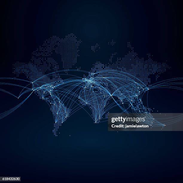
world map geometric abstract stylized. isolated on dark background. vector stock illustration - 歐洲 幅插畫檔、美工圖案、卡通及圖標世界地圖, 國家 - 地域, 簡單
political detailed world map - every country has own color - vector illustration scalable at any size - 歐洲 幅插畫檔、美工圖案、卡通及圖標世界地圖, 矢量圖, 地圖
world map geometric abstract stylized. isolated on white background. vector stock illustration - 歐洲 幅插畫檔、美工圖案、卡通及圖標地圖, 世界地圖, 國家 - 地域
history, ancient rome during the plague of justinian or justinianic plague, a bubonic plague epidemic - 歐洲 幅插畫檔、美工圖案、卡通及圖標黑死病, 瘟疫