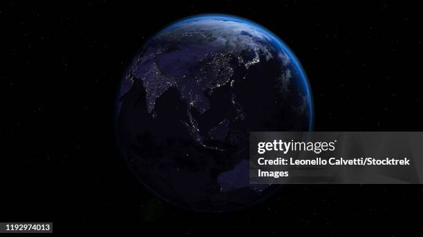
planet earth showing africa, europe and asia, half night and half day with city lights - 赤道 幅插畫檔、美工圖案、卡通及圖標夜晚
在白色背景上隔離的地球向量圖。黑色和白色用於著色。學校的東西和配件的概念。教育和學校材料,兒童著色頁面,可列印,活動,工作表,快閃記憶體卡。 - 赤道 幅插畫檔、美工圖案、卡通及圖標剪貼畫, 黑白片, 世界地圖
circulus aequinoctalis, historical map showing the equator and sailing ships - 赤道 幅插畫檔、美工圖案、卡通及圖標地圖, 藏寶圖, 古老的
3d rendering of planet earth with clouds. centered on the atlantic ocean, with the americas, africa and europe partially visible. - 赤道 幅插畫檔、美工圖案、卡通及圖標
illustration of new york 250 years ago on equator showing arid desert valley with buttes and rock formations - 赤道 幅插畫檔、美工圖案、卡通及圖標沙漠