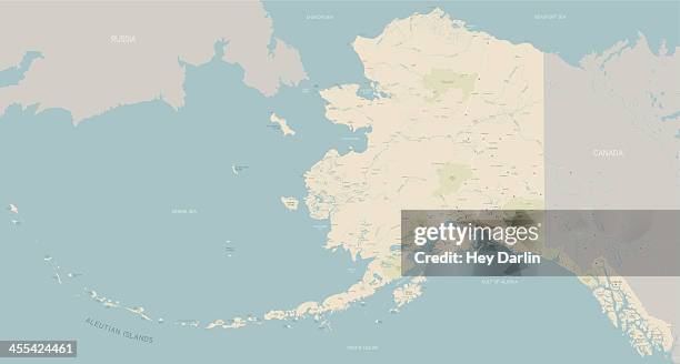
alaska map isolated on white background with pinpoint on capital city juneau. vector - 阿拉斯加半島 幅插畫檔、美工圖案、卡通及圖標阿拉斯加州, 地圖, 矢量圖
kansas red marked on usa map. usa map with divided states including hawaii and alaska, with separate layer for each state. vector - 阿拉斯加半島 幅插畫檔、美工圖案、卡通及圖標地圖, 堪薩斯州, 加州
bristol bay, alaska map. round icon with long shadow on red or blue background - 阿拉斯加半島 幅插畫檔、美工圖案、卡通及圖標
usa map in dots pixel shape, including hawaii and alaska. vector - 阿拉斯加半島 幅插畫檔、美工圖案、卡通及圖標美國, 地圖, 美國文化
california red marked on usa map. detailed map with divided states including hawaii and alaska, with separate layer for each state. vector - 阿拉斯加半島 幅插畫檔、美工圖案、卡通及圖標圖示
alaska red marked on usa map. detailed map with divided states including hawaii and alaska, with separate layer for each state. vector - 阿拉斯加半島 幅插畫檔、美工圖案、卡通及圖標美國文化, 地圖, 阿拉斯加州
alaska red marked on usa map with state name. detailed map with divided states including hawaii and alaska, with separate layer for each state. vector - 阿拉斯加半島 幅插畫檔、美工圖案、卡通及圖標