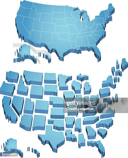
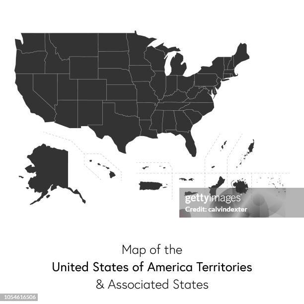
detailed map of the united states of america. usa map isolated. vector, eps10. - 阿拉斯加州 幅插畫檔、美工圖案、卡通及圖標美國, 地圖, 矢量圖
usa map isolated on white background including hawaii and alaska. detailed map. vector - 阿拉斯加州 幅插畫檔、美工圖案、卡通及圖標美國文化, 美國, 地圖
north america map with usa, canada, mexico, nicaragua, belize, cuba national borders - 阿拉斯加州 幅插畫檔、美工圖案、卡通及圖標地圖, 北美, 美國
vintage map show how to get to the klondike during the gold rush, 1899 - 阿拉斯加州 幅插畫檔、美工圖案、卡通及圖標地圖, 淘金熱
usa flag map. detailed map with divided states including hawaii and alaska, with separate layer for each state. vector - 阿拉斯加州 幅插畫檔、美工圖案、卡通及圖標美國國旗, 地圖, 美國
usa colorful detailed map with divided states including hawaii and alaska. separate layer for each state. vector - 阿拉斯加州 幅插畫檔、美工圖案、卡通及圖標地圖, 美國, 美國文化