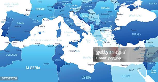
mediterranean sea region map. vector colored map of mediterranean sea region - map of italy 幅插畫檔、美工圖案、卡通及圖標地圖, 地中海, 地中海文化
義大利travel, 羅馬, 米蘭, 納普爾, 那不勒斯, 都靈, 巴勒莫, 熱那亞, 博洛尼亞, 佛羅倫斯, 巴里, 卡塔尼亞, 威尼斯, 維羅納, 梅西納, 帕多瓦, 裡雅斯特, 塔蘭托, 佈雷西亞� - map of italy 幅插畫檔、美工圖案、卡通及圖標義大利, 意大利國旗, 地圖
detailed world map divided into six continents - accurate & correct version - map of italy 幅插畫檔、美工圖案、卡通及圖標世界地圖, 地圖, 矢量圖
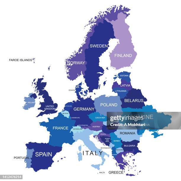
high detailed european union blue map with regions and national borders of spain, portugal, france, germany, italy, austria, croatia, slovakia, slovenia, poland, sweden, finland, greece, hungary, cyprus - map of italy 幅插畫檔、美工圖案、卡通及圖標地圖, 歐洲, 美國
political world map - each country on a separate layer - map of italy 幅插畫檔、美工圖案、卡通及圖標世界地圖, 地圖, 國家 - 地域
historical city map of milan, lombardy, italy, lithograph, published 1893 - map of italy 幅插畫檔、美工圖案、卡通及圖標地圖, 米蘭, 義大利
high detailed france blue map with regions and national borders of united kingdom, andorra, spain, belgium, luxembourg, switzerland, germany, italy - map of italy 幅插畫檔、美工圖案、卡通及圖標法國, 地圖, 矢量圖
italy - detailed map with regions and cities. set of flags, globe, country outline, country location on world map. - map of italy 幅插畫檔、美工圖案、卡通及圖標義大利, 地圖, 梵諦岡
italy map with location pins isolated on white background - map of italy 幅插畫檔、美工圖案、卡通及圖標義大利, 地圖, 地圖別針圖示
political detailed world map - every country has own color - vector illustration scalable at any size - map of italy 幅插畫檔、美工圖案、卡通及圖標世界地圖, 矢量圖, 地圖
map of medieval europe in the 12th century, holy roman empire under the hohenstaufen dynasty, vintage illustration, german text - map of italy 幅插畫檔、美工圖案、卡通及圖標地圖, 德國, 歐洲