interactive digital display showing futuristic interface with hand gesture input - 從衛星觀看 個照片及圖片檔軍事, 人工智能, 技術
Sequence image 05. Maxar shortwave infrared satellite image of burning buildings in Altadena, California. Please use: Satellite image 2025 Maxar...衛星 - 太空旅行器, 加州
Europe. True colour satellite image centred on Europe. North converges towards top. The terrain of Europe varies from arid, dusty areas to fields,...歐洲, 大西洋
image obtained using the modis sensors, physical geography of europe - 從衛星觀看 幅插畫檔、美工圖案、卡通及圖標歐洲, 德國, 西班牙
Middle East, true colour satellite image. North is at top. Vegetation is green, water is dark blue and bare ground, mostly desert, is yellow-brown....紅海, 波斯灣國家
The GPS space satellite, Global Positioning System, satellite-based navigation system, illustration.外太空
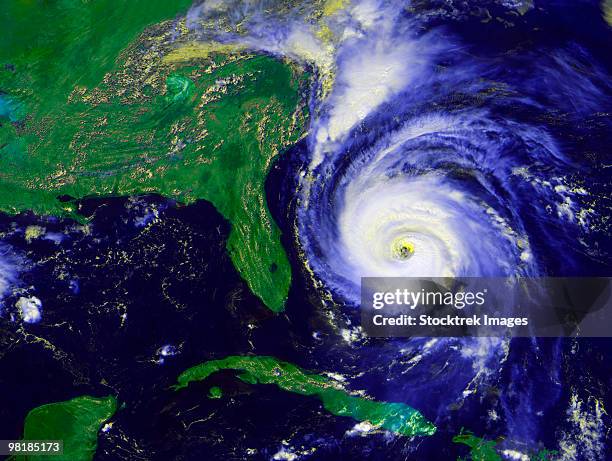
In this NOAA image taken by the GOES satellite, Hurricane Lee crosses the Atlantic Ocean as it moves west on September 8, 2023. Lee reached Category...颶風, 大西洋, 外太空
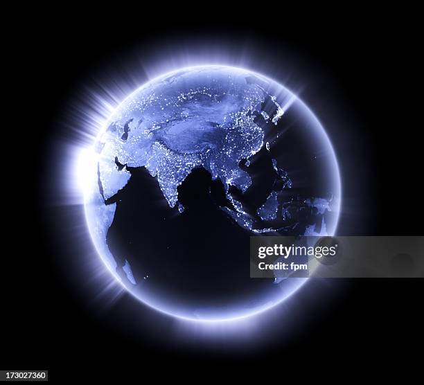
planet earth seen from space. the americas on the dark side of the planet. - 從衛星觀看 個照片及圖片檔地球, 外太空, 星球
Sequence image 11. Maxar BEFORE satellite image of homes and a neighborhood along Alltadena Drive in Altadena, California. Please use: Satellite...衛星 - 太空旅行器, 加州, DigitalGlobe
Satellite image of Category 4 Hurricane Helene making landfall in Florida, USA, with powerful winds and heavy rainfall causing widespread damage....衛星 - 太空旅行器, 颶風
View of Earth from space during the Apollo 4 unmanned orbital test flight, November 9th 1967. The photo was taken through the command pilot's window...地球, 宇宙探索, 美國太空總署
View of London by night. Astronaut photograph, taken from the International Space Station on September 27, 2015.夜晚, 城市, 倫敦 - 英格蘭