Sequence image 14. Maxar AFTER satellite image of homes and a neighborhood totally destroyed in Altadena, California. Please use: Satellite image...衛星 - 太空旅行器, 加州, 影像
communications satellite on the background of the moon. satellite connection - 從衛星觀看 個照片及圖片檔衛星 - 太空旅行器, 碟形天線, 月亮
View looking north showing the Strait of Hormuz, connecting the Gulf of Oman with the Persian Gulf, with the Zagros Mountains and Qeshm Island of...霍爾木茲海峽, 鳥瞰, 波斯灣國家
Panorama of the Earth's horizon as seen from the Space Shuttle Columbia during mission STS-75, 22nd February to 9th March 1996. The primary objective...地球, 外太空, 風景 - 大自然
True colour satellite image of the Earth showing Greenland, the North Pole and Europe, with cloud coverage. This image in orthographic projection was...地球, 北極, 摄影
Sequence image 12. Maxar DURING satellite image of homes and a neighborhood on fire along Alltadena Drive in Altadena, California. Please use:...衛星 - 太空旅行器, 加州, 森林大火
Sequence image 10. Maxar DURING satellite image of homes and an entire neighborhood on fire near Fair Oaks Avenue in Altadena, California. Please...加州, 森林大火, DigitalGlobe
Satellite view of the Strait of Hormuz in the Persian Gulf, showing Iran’s Abu Musa, Greater Tunb, Lesser Tunb, Qeshm, Sirri, Hormuz, and Kharg...
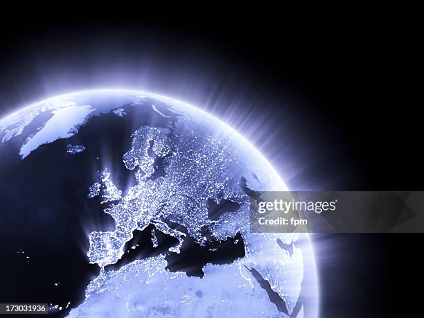
planet earth at night with city light illumination. view from space. 3d render - 從衛星觀看 個照片及圖片檔地球, 夜晚, 星球
beauty of planet earth in the route grand canyon el paso las cruces white sands - 從衛星觀看 個照片及圖片檔泥土, 大峽谷國家公園
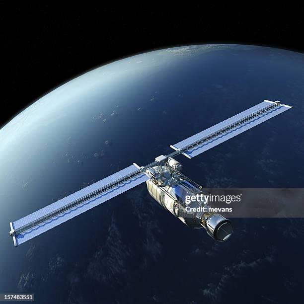
space station receiving or transmitting data, communication with planet earth - 從衛星觀看 個照片及圖片檔衛星 - 太空旅行器, 外太空, 地球
this image shows a view of the earth on september 21, 2005 with the full arctic region visible. - 從衛星觀看 個照片及圖片檔地球, 北美, 北極
Southern Scandinavia just before midnight under a full moon, showing the Northern lights aurora in 2015.地球, 夜晚, 摄影