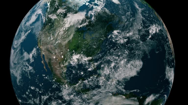
satellite view of america from space. cinematic earth rotation animation. concept of aerial view of countries, spinning globe, world map, tourism, travel, journey, - 地面 個影片檔及 b 捲影像00:12地球, 星球
drop of water falling onto dry earth. filmed at 9000fps (slowed down 360 time) - 地面 個影片檔及 b 捲影像00:24水滴
drone moving up capturing technician using laptop under pylon line in countryside, top down shot - 地面 個影片檔及 b 捲影像00:18無人機角度
the entire process of several high-rise buildings from flat ground to completion of construction - 地面 個影片檔及 b 捲影像00:18
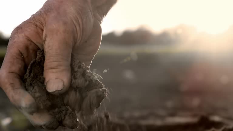
slo mo closeup of hand of unknown female agronomist checking the quality soil on field at sunset - 地面 個影片檔及 b 捲影像00:23女人
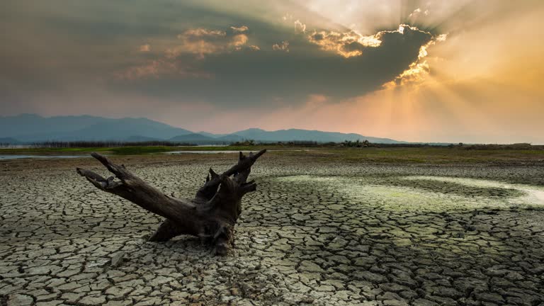
ws t/l shot of clouds move in over drowned forest lake / villiersdorp, western cape, south africa - 地面 個影片檔及 b 捲影像00:08乾旱氣候, 死亡, 風景 - 大自然
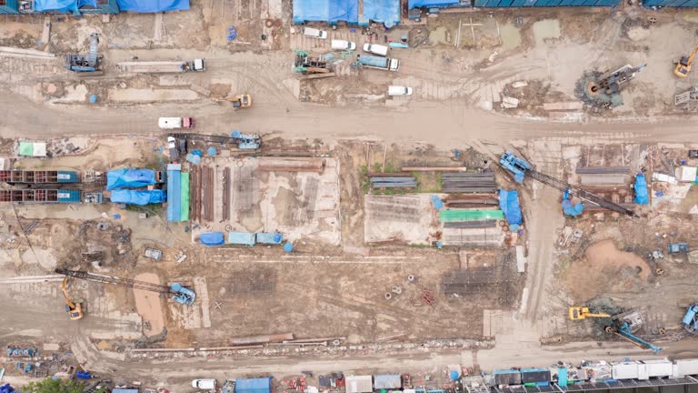
high angle aerial top down drone point of view time lapse over big building construction site with many huge crane and machine vehicle working daytime. - 地面 個影片檔及 b 捲影像00:16無人機角度
point of view of sowing of seeds into hole in the ground. unique perspective. gardening, farming & environment. - 地面 個影片檔及 b 捲影像00:15種子
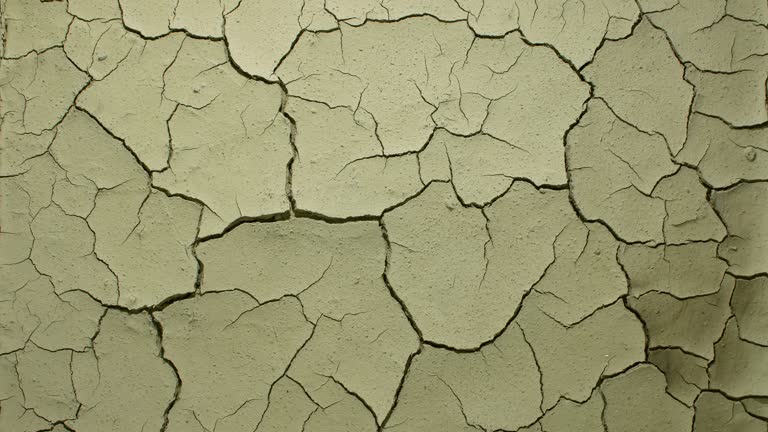
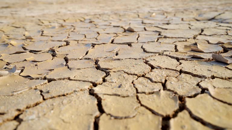
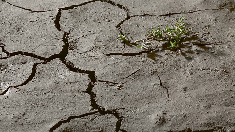
ms t/l shot of drying and cracking earth / london, greater london, united kingdom - 地面 個影片檔及 b 捲影像00:18乾的, 乾旱氣候
view of earth from a giant asteroid or the moon. rapidly approaching earth. the concept of apocalypse, danger, meteor, planet crash, surface of the moon, aerial view of countries, spinning globe, world map, space tourism, travel, journey, ufo - 地面 個影片檔及 b 捲影像00:12月球表面, 地球
farming, mountain and sunset vineyard with biodiversity, agro development and permaculture landscape. nature, growth and eco valley for sustainable agriculture, natural resources and organic crops - 地面 個影片檔及 b 捲影像00:09
soil surface for agricultural cultivation and daily use. ground texture concept - 地面 個影片檔及 b 捲影像00:11
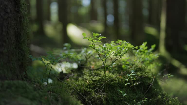
nature sunrise, mountain trees and aerial view of the forrest and beautiful scenic in the outdoors. drone and natural sunny landscape background of the wilderness environment for travel and scenery - 地面 個影片檔及 b 捲影像00:12大自然
visualization of a satellite scan of a mountain range. a red scanning line passes through the rocky terrain, mountains and peaks, the satellite analyzes the surface and uses artificial intelligence to make a three-dimensional map of the area. - 地面 個影片檔及 b 捲影像00:10軍事, 外太空
side view panning shot of young woman tourist with backpack walking in park with blooming flowers on schlossberg hill in graz on sunny day - 地面 個影片檔及 b 捲影像00:13大自然, 女人
flying slowly just above the surface of the water at sunrise along the reflection of the sun in the water. following the sun. sunset at sea. the dolly shot. version 4a - 地面 個影片檔及 b 捲影像00:20日落
drone point of view farmer driving harvester tractor, hasvesting rice in agriculture field - 地面 個影片檔及 b 捲影像00:10稻米 - 穀物