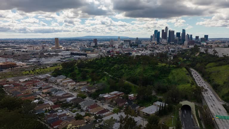
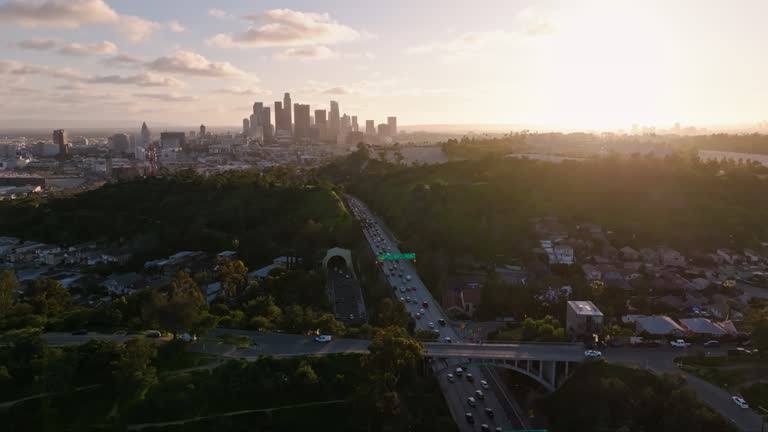
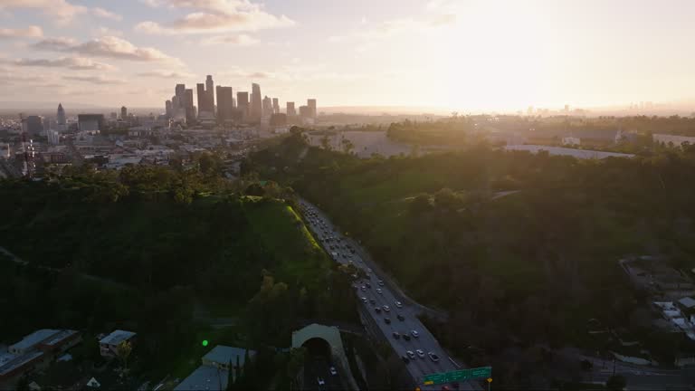
cars drive on the arroyo seco parkway towards the downtown skyline at sunset on november 23, 2025 in los angeles, california. - 帕薩迪納高速公路 個影片檔及 b 捲影像00:35
retreating aerial of downtown los angeles, california from elysian park at night - 帕薩迪納高速公路 個影片檔及 b 捲影像00:15
rightward flying aerial of downtown los angeles skyline from elysian park at night - 帕薩迪納高速公路 個影片檔及 b 捲影像00:13
aerial establishing shot of los angeles downtown skyline and freeway at night - 帕薩迪納高速公路 個影片檔及 b 捲影像00:19
establishing aerial of downtown los angeles skyline from elysian park at night - 帕薩迪納高速公路 個影片檔及 b 捲影像00:19
establishing aerial shot of los angeles skyline and arroyo seco parkway at night - 帕薩迪納高速公路 個影片檔及 b 捲影像00:13
aerial shot of arroyo seco pkwy at night revealing downtown los angeles in the distance - 帕薩迪納高速公路 個影片檔及 b 捲影像00:22
forward ascending aerial of downtown los angeles and highway traffic on arroyo seco pkwy at night - 帕薩迪納高速公路 個影片檔及 b 捲影像00:28
static drone shot of los angeles skyline and traffic on arroyo seco pkwy at night - 帕薩迪納高速公路 個影片檔及 b 捲影像00:29
retreating aerial shot of downtown los angeles and freeway traffic at night - 帕薩迪納高速公路 個影片檔及 b 捲影像00:27
static aerial shot of los angeles skyline and traffic on arroyo seco pkwy at night - 帕薩迪納高速公路 個影片檔及 b 捲影像00:29
nighttime aerial shot of downtown los angeles skyline and highway traffic - 帕薩迪納高速公路 個影片檔及 b 捲影像00:13
establishing aerial shot of los angeles skyline from elysian park at night - 帕薩迪納高速公路 個影片檔及 b 捲影像00:25
drone shot of traffic circling through 10/110 interchange in los angeles - 帕薩迪納高速公路 個影片檔及 b 捲影像00:16加州
upward tilting drone shot of traffic on the 110 passing downtown la at night - 帕薩迪納高速公路 個影片檔及 b 捲影像00:37
panning high angle drone shot of traffic on the 110 passing downtown la at night - 帕薩迪納高速公路 個影片檔及 b 捲影像00:26
drone flight over over los angeles convention center towards 10/110 interchange at night - 帕薩迪納高速公路 個影片檔及 b 捲影像00:15
orbiting aerial shot of 10/110 interchange on the edge of downtown los angeles at night - 帕薩迪納高速公路 個影片檔及 b 捲影像00:16
drone flight towards 10/110 interchange on the edge of downtown los angeles at night - 帕薩迪納高速公路 個影片檔及 b 捲影像00:09
backwards aerial shot of morning traffic on 110 headed towards downtown los angeles - 帕薩迪納高速公路 個影片檔及 b 捲影像00:13
morning traffic on 110 headed towards downtown los angeles skyline - aerial - 帕薩迪納高速公路 個影片檔及 b 捲影像00:17
ascending drone shot of morning traffic on 110 headed towards downtown los angeles - 帕薩迪納高速公路 個影片檔及 b 捲影像00:17
drone shot of elysian park and morning traffic on 110 headed towards downtown los angeles - 帕薩迪納高速公路 個影片檔及 b 捲影像00:10
aerial hyper lapse of downtown la skyline and arroyo seco parkway at nightfall - 帕薩迪納高速公路 個影片檔及 b 捲影像00:20
aerial time lapse of downtown la skyline and arroyo seco parkway at night - 帕薩迪納高速公路 個影片檔及 b 捲影像00:16
high angle aerial view of traffic circle and freeway overpass at night - time lapse - 帕薩迪納高速公路 個影片檔及 b 捲影像00:14
aerial hyper lapse of downtown la skyline and arroyo seco parkway at sunset - 帕薩迪納高速公路 個影片檔及 b 捲影像00:20美國
drone hyper lapse of the arroyo seco parkway and elysian park in los angeles - 帕薩迪納高速公路 個影片檔及 b 捲影像00:20
drone flight over line of palm trees towards downtown la skyline at sunset - 帕薩迪納高速公路 個影片檔及 b 捲影像00:09
pasadena freeway (ca highway 110) leading to downtown los angeles, california, united states of america - 帕薩迪納高速公路 個影片檔及 b 捲影像00:18
pasadena freeway (ca highway 110) leading to downtown los angeles, california, united states of america - 帕薩迪納高速公路 個影片檔及 b 捲影像00:17
pasadena freeway (ca highway 110) leading to downtown los angeles, california, united states of america - 帕薩迪納高速公路 個影片檔及 b 捲影像00:17