north and south america high detailed blue map with countries, regions and borders - 南美 幅插畫檔、美工圖案、卡通及圖標地圖, 美國, 矢量圖
world map - high quality print vector map of the world in bright colors - 南美 幅插畫檔、美工圖案、卡通及圖標地圖, 世界地圖, 歐洲
world map - highly detailed vector map of the world. vintage retro style. - 南美 幅插畫檔、美工圖案、卡通及圖標世界地圖, 地圖, 大西洋
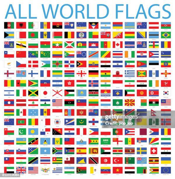
america all flags - vector rectangle flat icons of national flags - 南美 幅插畫檔、美工圖案、卡通及圖標墨西哥國旗, 矢量圖, 秘魯國旗
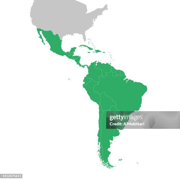
north and south america map. vector colored map of north and south americas - 南美 幅插畫檔、美工圖案、卡通及圖標地圖, 矢量圖, 美國
detailed world map divided into all seven continents - accurate & correct version - 南美 幅插畫檔、美工圖案、卡通及圖標世界地圖, 地圖
political map of america and former colonies,, chromolithograph, published 1898 - 南美 幅插畫檔、美工圖案、卡通及圖標地圖, 美國, 墨西哥
map of south america showing charles darwin’s voyage around the world on the hms beagle, part 1 of 3 tropic zone connecting maps - 19th century - 南美 幅插畫檔、美工圖案、卡通及圖標地圖, 比高犬