greenland map. zoom on world map. animated shape vector map of the greenland. 4k video footage. motion graphics - 格陵蘭 幅插畫檔、美工圖案、卡通及圖標地圖, 冰島, 加拿大
the first discovery of greenland : the famous voyage of king eric the red in 983, from the painting by carl ramussen.. - 格陵蘭 幅插畫檔、美工圖案、卡通及圖標維京人, 雕刻圖像, 國王
high detailed arctic region blue map with national borders of canada, usa, russia, greenland, norway, sweden, finland, united kingdom, ireland, iceland, japan - 格陵蘭 幅插畫檔、美工圖案、卡通及圖標北極地帶, 地圖, 矢量圖
the uss tigress finds the camp on littleton island, greenland where the polaris expedition had been the previous winter - 19th century - 格陵蘭 幅插畫檔、美工圖案、卡通及圖標歷史, 探險, 露營
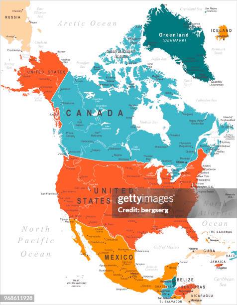
north america map with usa, canada, mexico, nicaragua, belize, cuba national borders - 格陵蘭 幅插畫檔、美工圖案、卡通及圖標地圖, 北美, 美國
3d rendering of planet earth with clouds, centered on the north pole with north america and asia partially visible. - 格陵蘭 幅插畫檔、美工圖案、卡通及圖標地球, 北極地帶
flag of greenland. vector waving flag background. high detailed realistic illustration - 格陵蘭 幅插畫檔、美工圖案、卡通及圖標國旗, 丹麥
vintage illustration arctic circle, map of the north polar regions, victorian 19th century 1870s - 格陵蘭 幅插畫檔、美工圖案、卡通及圖標地圖, 復古風格, 北極地帶