antique map of ancient greece, peloponnesus et graecia meridionalis - 地形圖 幅插畫檔、美工圖案、卡通及圖標地圖, 古希臘 - 古代文明, 希臘 - 南歐
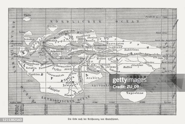
world map illustration, travel, exploration, antique 1871 illustration - 地形圖 幅插畫檔、美工圖案、卡通及圖標世界地圖, 地圖, 歷史
map of south america showing charles darwin’s voyage around the world on the hms beagle, part 1 of 3 tropic zone connecting maps - 19th century - 地形圖 幅插畫檔、美工圖案、卡通及圖標地圖, 南美, 比高犬
strait of hormuz blockade, multicolored map with traffic lines. waterway between persian gulf and gulf of oman. vector - 地形圖 幅插畫檔、美工圖案、卡通及圖標
abstract multicolor modern futuristic papercut background. abstract design template for brochures, flyers, magazine, business card, branding, banners, headers, book covers, notebooks background vector - 地形圖 幅插畫檔、美工圖案、卡通及圖標