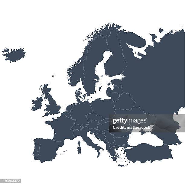
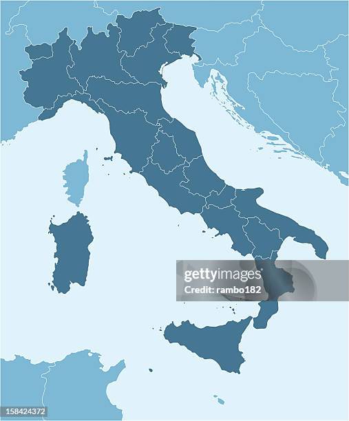
high detailed european union blue map with regions and national borders of spain, portugal, france, germany, italy, austria, croatia, slovakia, slovenia, poland, sweden, finland, greece, hungary, cyprus - 地理邊界 幅插畫檔、美工圖案、卡通及圖標地圖, 歐洲, 美國
dual earth illustrations in green and black tones on white background - 地理邊界 幅插畫檔、美工圖案、卡通及圖標矢量圖, 圖示, 電腦圖形
globe & earth glyph solid icons. containing earth, world map, network solid icons collection. vector illustration. perfect pixel on clean white background - 地理邊界 幅插畫檔、美工圖案、卡通及圖標圖示, 世界地圖, 全球通訊
usa colorful detailed map with divided states including hawaii and alaska. separate layer for each state. vector - 地理邊界 幅插畫檔、美工圖案、卡通及圖標地圖, 美國, 美國文化