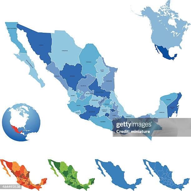
mexico - detailed political map showing regions, cities, and bodies of water. - 新里昂州 幅插畫檔、美工圖案、卡通及圖標墨西哥, 地圖
cape verde - detailed map with regions and cities of the country. flag and globe. - 新里昂州 幅插畫檔、美工圖案、卡通及圖標
mexico - detailed political map of the country featuring major cities, capitals, bodies of water, and a set of navigational symbols. retro-style vector design. - 新里昂州 幅插畫檔、美工圖案、卡通及圖標地圖
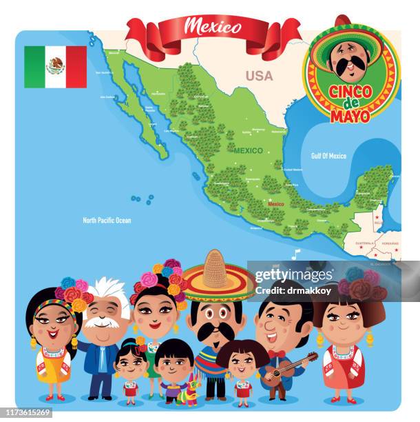
mexico - detailed administrative map with regions, rivers, cities and national flag. - 新里昂州 幅插畫檔、美工圖案、卡通及圖標
historical map of the country of mexico, published in 1885.estados unidos mexicanos, nuevo leon - 新里昂州 幅插畫檔、美工圖案、卡通及圖標