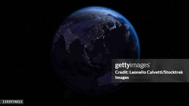
planet earth showing africa, europe and asia, half night and half day with city lights - 東半球 幅插畫檔、美工圖案、卡通及圖標夜晚
view of earth 650 million years ago during the marinoan glaciation. - 東半球 幅插畫檔、美工圖案、卡通及圖標冰河時代, 地球, 凍結的
3d rendering of planet earth centered on the north pole, starry background. - 東半球 幅插畫檔、美工圖案、卡通及圖標北極地帶, 北極, 外太空
3d rendering of planet earth with clouds. centered on the atlantic ocean, with the americas, africa and europe partially visible. - 東半球 幅插畫檔、美工圖案、卡通及圖標
antique 1867 map of eastern hemisphere, geography, world history, cartography - 東半球 幅插畫檔、美工圖案、卡通及圖標地圖, 非洲 - 地理位置, 歷史
planet earth showing africa and europe in night time with city lights. - 東半球 幅插畫檔、美工圖案、卡通及圖標非洲 - 地理位置, 深色的, 地圖
3d rendering of planet earth with clouds, centered on the atlantic ocean, with north america, south america, africa and europe partially visible. - 東半球 幅插畫檔、美工圖案、卡通及圖標