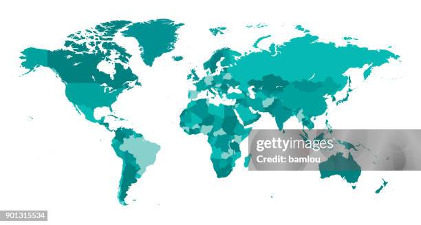
detailed world map divided into six continents - accurate & correct version - 美洲 幅插畫檔、美工圖案、卡通及圖標世界地圖, 地圖, 矢量圖
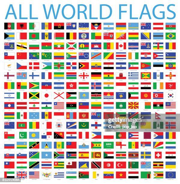
made in - vector set. most popular flags and text made in. isolated on white backround - 美洲 幅插畫檔、美工圖案、卡通及圖標國家 - 地域, 國旗, 美國
world map major cities with country outlines and location labels - 美洲 幅插畫檔、美工圖案、卡通及圖標世界地圖, 矢量圖, 國家 - 地域
christopher columbus discovering america erecting the cross 1492 illustration - 美洲 幅插畫檔、美工圖案、卡通及圖標發現, 探索者, 黑白片
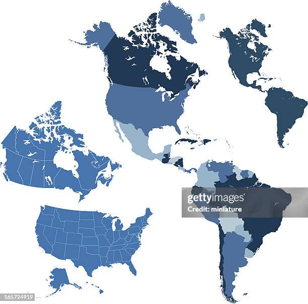
detailed map of the united states of america. usa map isolated. vector, eps10. - 美洲 幅插畫檔、美工圖案、卡通及圖標地圖, 美國, 國家 - 地域
detailed world map divided into all seven continents - accurate & correct version - 美洲 幅插畫檔、美工圖案、卡通及圖標世界地圖, 地圖