north and south america high detailed blue map with countries, regions and borders - 北美 幅插畫檔、美工圖案、卡通及圖標地圖, 南美, 美國
world map geometric abstract stylized. isolated on white background. vector stock illustration - 北美 幅插畫檔、美工圖案、卡通及圖標世界地圖, 矢量圖, 簡單
population line icon set. group of people, demographic, family, citizenship, nationality, census, community. - 北美 幅插畫檔、美工圖案、卡通及圖標圖示, 人群, 人口統計
detailed world map divided into six continents - accurate & correct version - 北美 幅插畫檔、美工圖案、卡通及圖標世界地圖, 地圖, 歐洲
distribution warehouse and order fulfillment thin line icons - editable stroke - 北美 幅插畫檔、美工圖案、卡通及圖標圖示, 貨倉
global communications icon with globe and circular arrows - minimalist design, worldwide network, digital connectivity - pixel perfect with editable stroke - ui and ux vector icons. - 北美 幅插畫檔、美工圖案、卡通及圖標星球, 圖示
world map - highly detailed vector map of the world. vintage retro style. - 北美 幅插畫檔、美工圖案、卡通及圖標世界地圖, 地圖, 大西洋
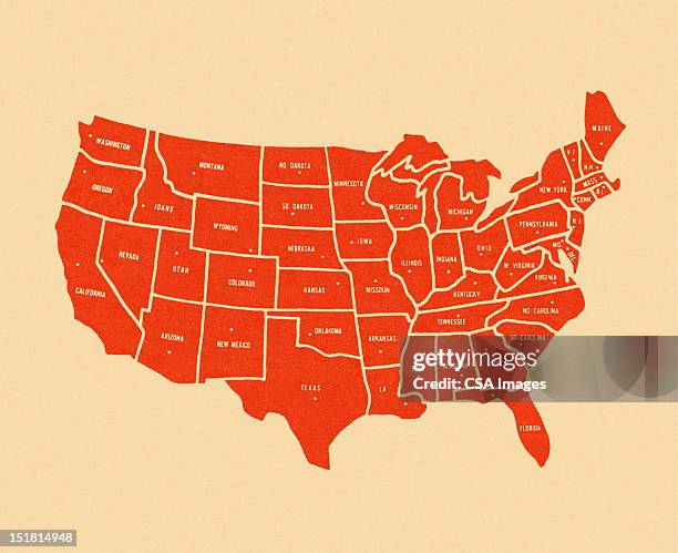
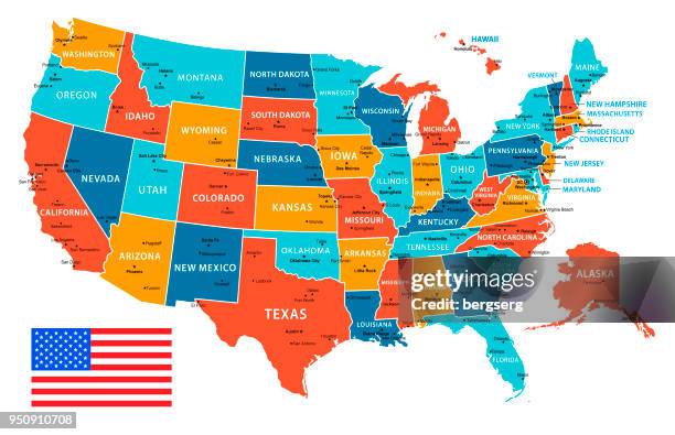
usa map isolated on white background including hawaii and alaska with short name abbreviation for each state. - 北美 幅插畫檔、美工圖案、卡通及圖標美國, 地圖, 美國文化
world map - high quality print vector map of the world in gray monochrome colors - 北美 幅插畫檔、美工圖案、卡通及圖標世界地圖, 首都, 矢量圖