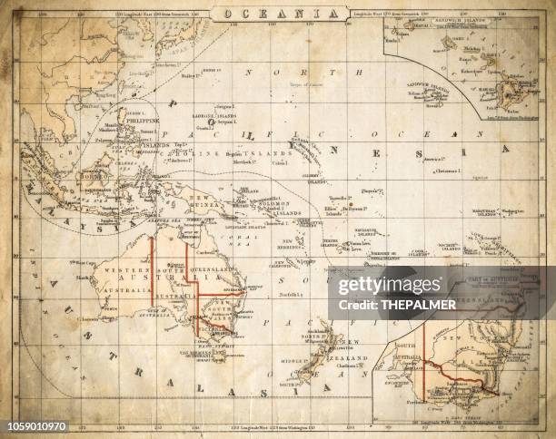
old antique map east indian archipelago, indonesia, siam, java, batavia, philippines, papua new guinea, 1890s, victorian 19th century history - 太平洋 幅插畫檔、美工圖案、卡通及圖標地圖, 印尼
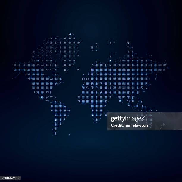
detailed world map divided into all seven continents - accurate & correct version - 太平洋 幅插畫檔、美工圖案、卡通及圖標世界地圖, 地圖
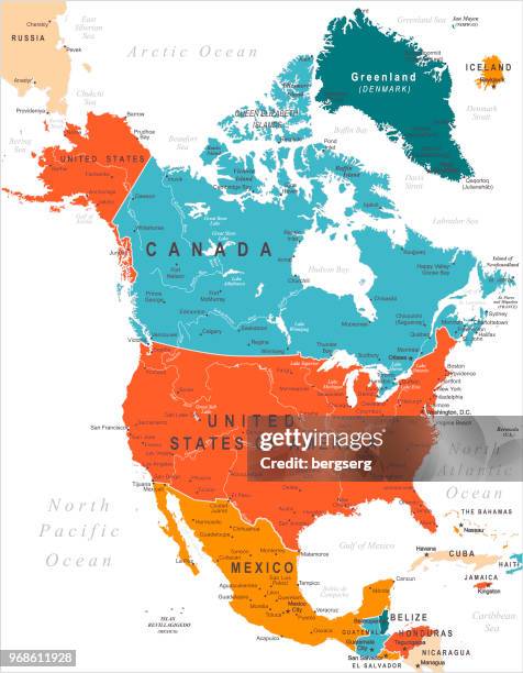
north america map with usa, canada, mexico, nicaragua, belize, cuba national borders - 太平洋 幅插畫檔、美工圖案、卡通及圖標地圖, 北美, 美國