circulus aequinoctalis, historical map showing the equator and sailing ships - 網格線 幅插畫檔、美工圖案、卡通及圖標地圖, 藏寶圖, 古老的
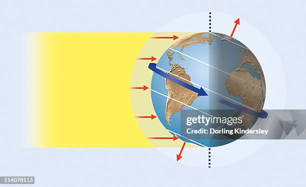
illustration of sun's rays reaching the earth, creating the greatest heat in the tropics and impinging at oblique angle towards the poles (solar heating) - 網格線 幅插畫檔、美工圖案、卡通及圖標地球, 太陽光線, 熱度 - 溫度
map of the british american thirteen colonies in the united states - 18th century - 網格線 幅插畫檔、美工圖案、卡通及圖標殖民地主義, 13號, 地圖