old sketch chart of the north atlantic on mercator projection, shipping routes, europe, north and south america, 1890s, 19th century - 北大西洋 幅插畫檔、美工圖案、卡通及圖標地圖, 復古風格, 貿易
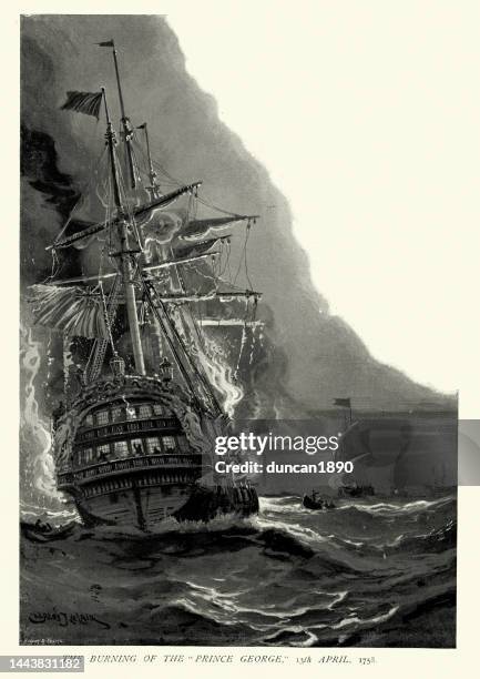
burning of hms prince george 13 april 1758 at sea in the bay of biscay, history royal navy - 北大西洋 幅插畫檔、美工圖案、卡通及圖標燃燒
old antique map of boston, massachusetts, usa, massachusetts bay, 1890s, 19th century - 北大西洋 幅插畫檔、美工圖案、卡通及圖標地圖
storm herminia 20250126 wind weather map atlantic ocean infographic - 北大西洋 幅插畫檔、美工圖案、卡通及圖標氣象學, 地圖, 數據
map of america greenland ireland and great britain 1570 by sigur stephanius - 北大西洋 幅插畫檔、美工圖案、卡通及圖標愛爾蘭, 地圖, 冰島
illustration of ships' graveyard in the sargasso sea, wrecked ships and boat with skeleton sailor in the foreground - 北大西洋 幅插畫檔、美工圖案、卡通及圖標百慕達三角
historical map of western pyrenees (france/spain), lithograph, published 1880 - 北大西洋 幅插畫檔、美工圖案、卡通及圖標地圖, 西班牙, 法國